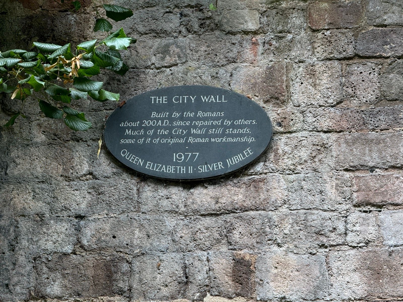
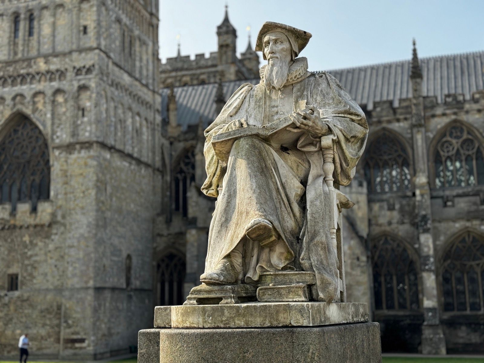
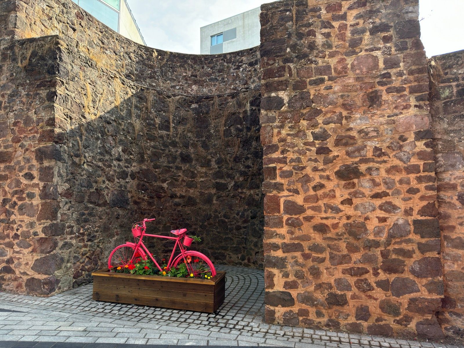
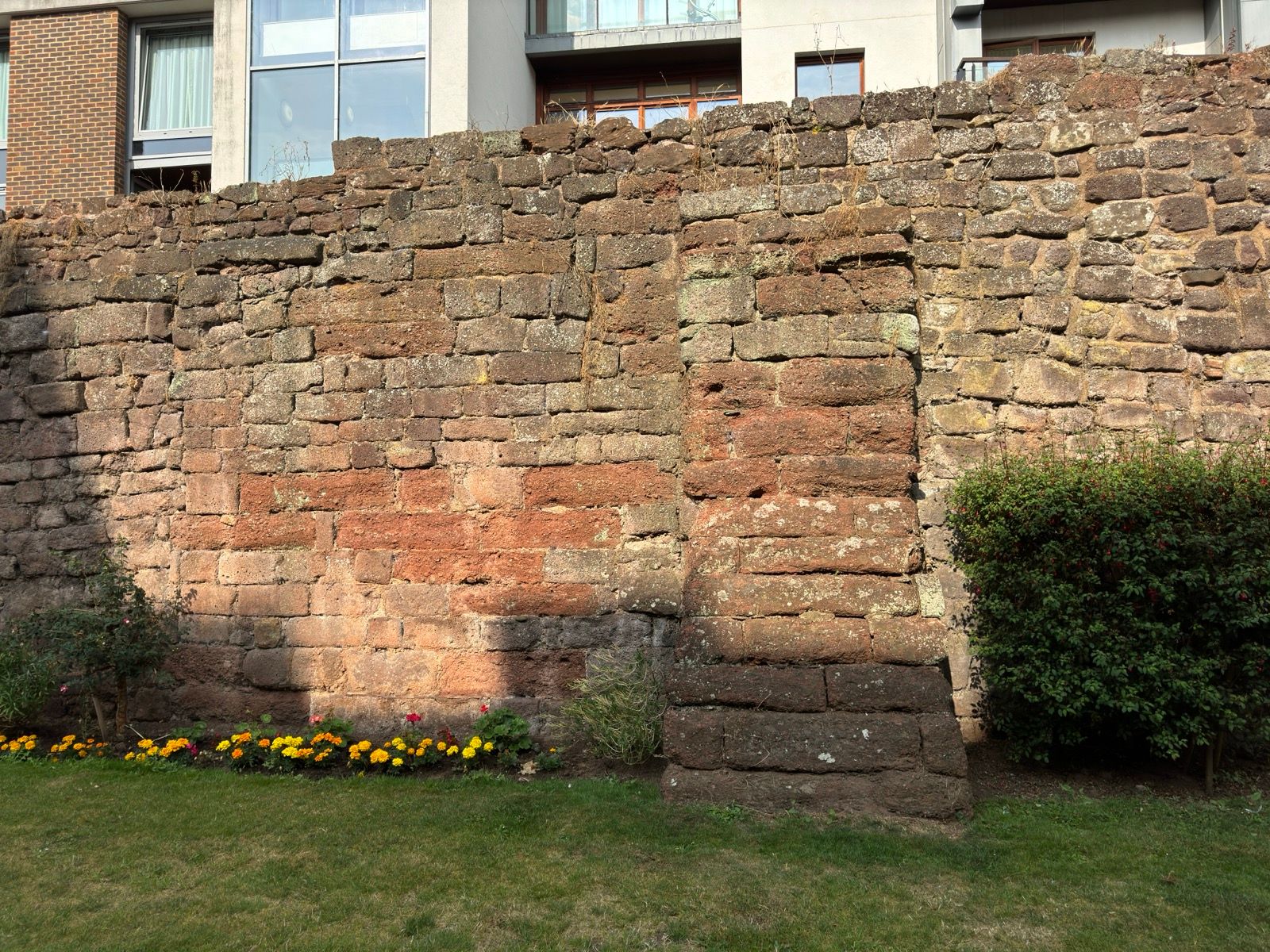
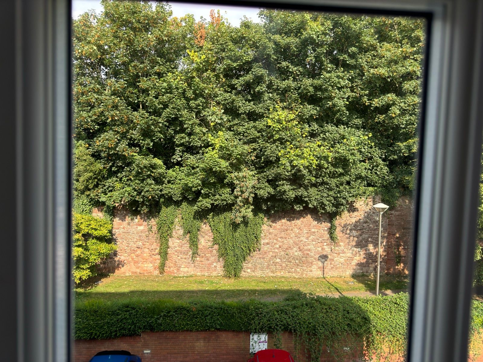
The view from my room at the Mercure Exeter was blocked by a wall. Part of Exeter’s medieval city wall. After breakfast I followed the wall to the cathedral and to the parts of the city wall that have Roman foundations.
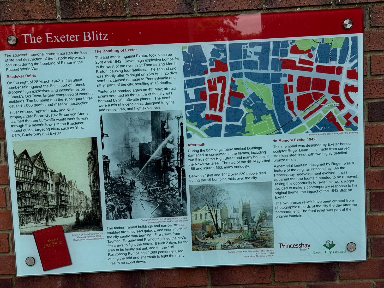
Exeter still have many fine medieval buildings but many were destroyed in the conflagrations that followed reprisal bombings in April 1942 during WWII. These were the first of the “Baedeker raids” — named for a German guidebook — in retaliation for RAF bombing raid on the medieval German city of Lübeck in March of that year.
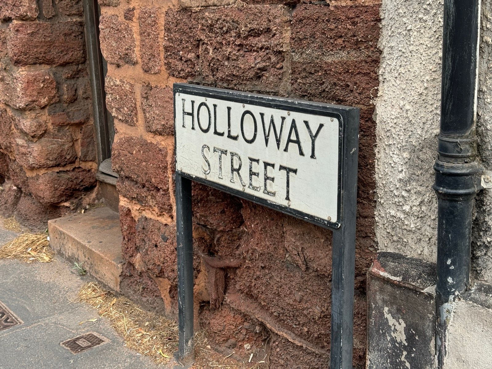
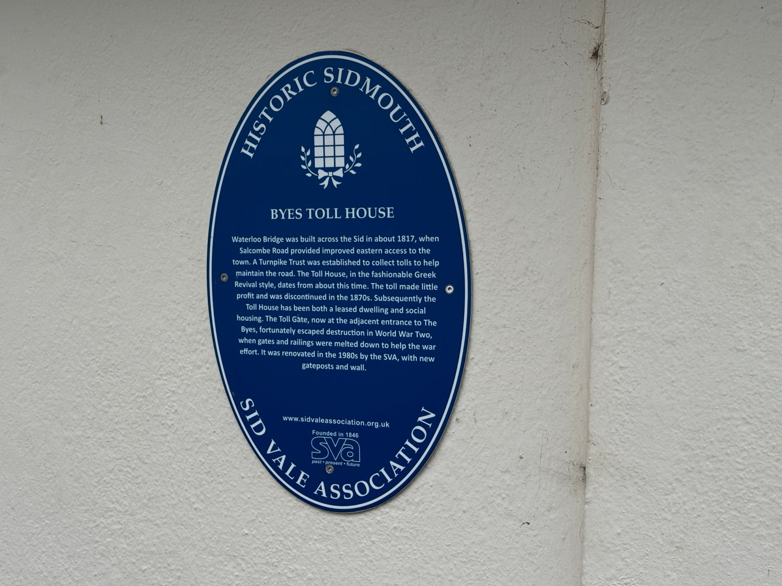
Leaving Exter I was confused as to why my Garmin showed the word “Holloway” on the map as well as displaying on the route I had planned. I was heading for the famous holloways of Dorset — Hell and Shute Lanes — and I was riding in Exeter next to Holloway Street. Confusion over.
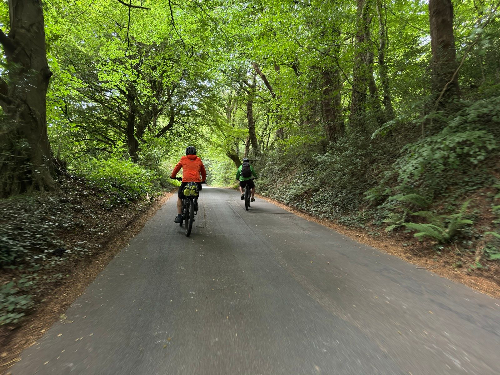
I was following a route to Axminster suggested by Natinal Trust’s Cyclists Welcome officer Zsolt Schuller. His GPX file took me on the gravel tracks of Woodbury Common. Because the day was overcast — flat light is good for filming — I recorded several pieces to camera that I’ll edit and get online later. I described how in 57 days of riding the bike had proven to be reliably robust, suffering no mechanicals, and how the 50mm Continental tyres hadn’t flatted once, at least to my knowledge. As they are tubeless I could have had loads of small punctures and they would have self-sealed as I rode along, oblivious.
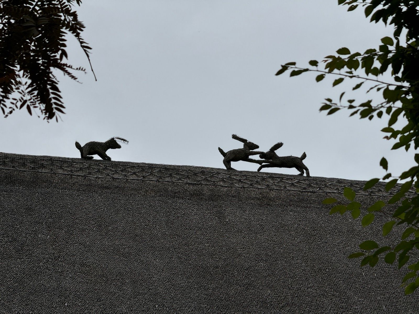
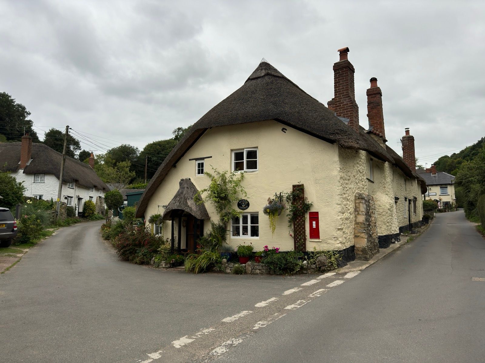
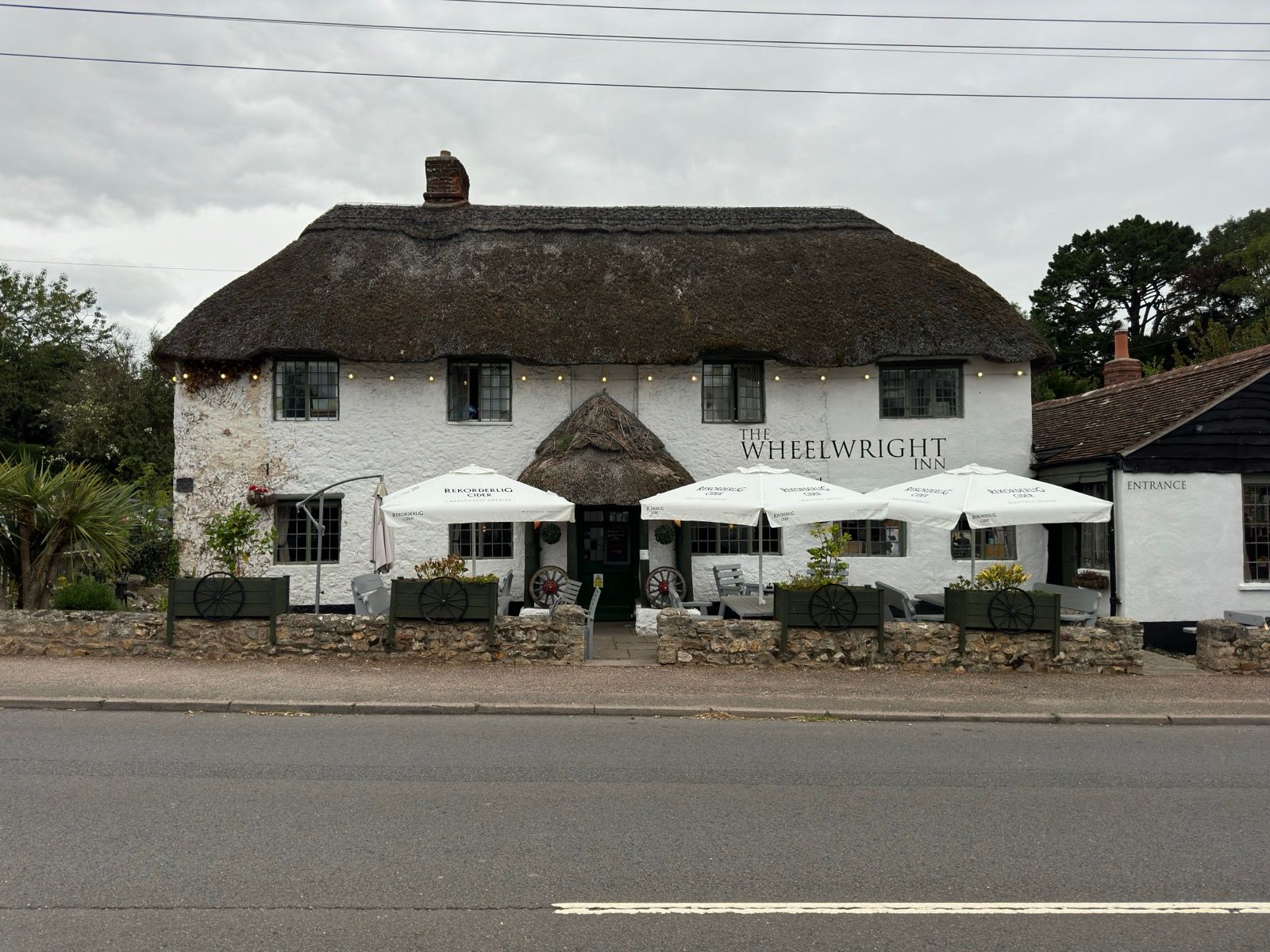
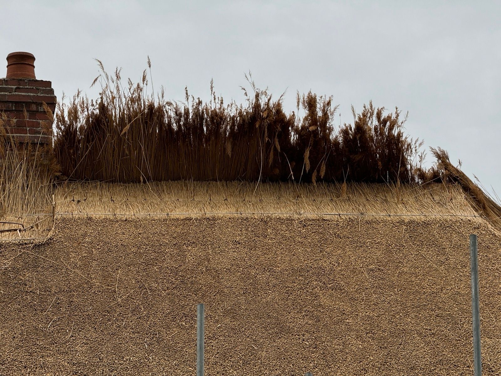
In the village of Newton Poppleford I saw my first Devon thatched cottage with roof “finials.” These thatch animals cost £50 each to craft, the house owner told me.
He also told me that Austrian reed is the best material for thatched roofs and that it cost £56,000 to re-thatch his house and outbuildings, with two thatchers working for 12 weeks.
“Should now last 30 years,” he said, griping that a previous thatch hadn’t lasted long.
“We demanded [our new thatched roof] was fitted with chicken-wire, which isn’t standard for the area,” he added.
“Stops the jackdaws. They are going after insects but pull out the straw and can destroy a roof in short order.”
His roof featured three finial hares.
“I wanted a fox,” said the chap. “My wife wanted boxing hares.”
One of the three hares is looking worse for wear, with the ears now more wire than thatch.
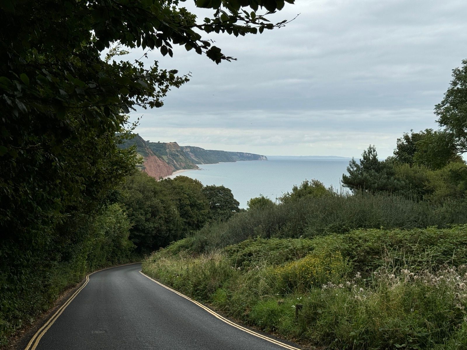
Zsolt had warned me about the climb out of Sidmouth. Good call, the climb is a stiff one.
“You’re an inspiration,” offered a cyclist passing me on an electric mountain bike, half way up the climb, riding with two mates also on e-MTBs.
“Just grinding it out,” I replied.
“We used to do that when we were younger,” he laughed as he overtook me at speed.
I’m pretty sure I’m about the same age as the three.
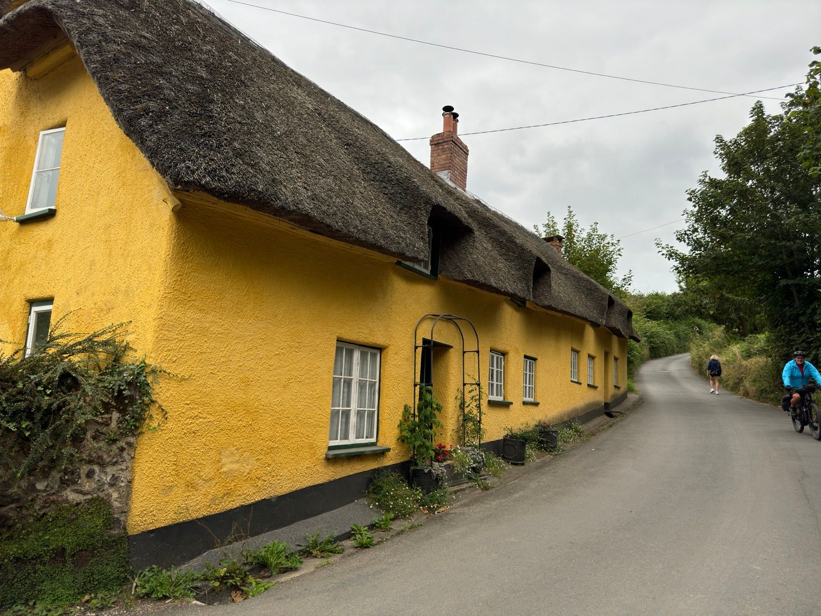
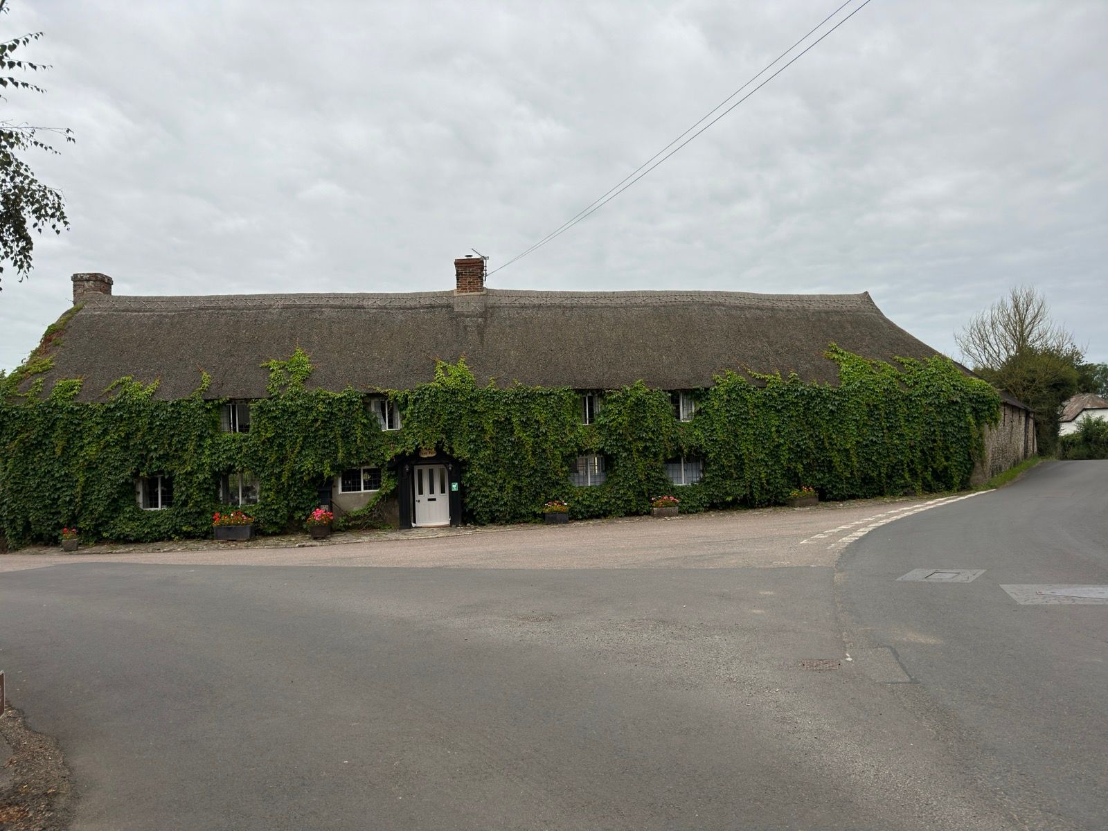
We met again in the pretty village of Branscombe and I waited for them to set off before flying the drone to capture a few images of myself riding between a particularly photogenic thatched cottage and a thatched (working) forge.
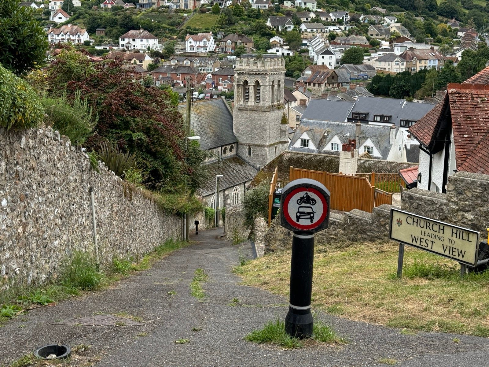
In the village of Beer the GPX route veered left up Church Hill. This was short but steep. Comically steep. Can’t-possibly-cycle steep. Challenge accepted: yes, I made it on the first attempt although was breathless by the top.
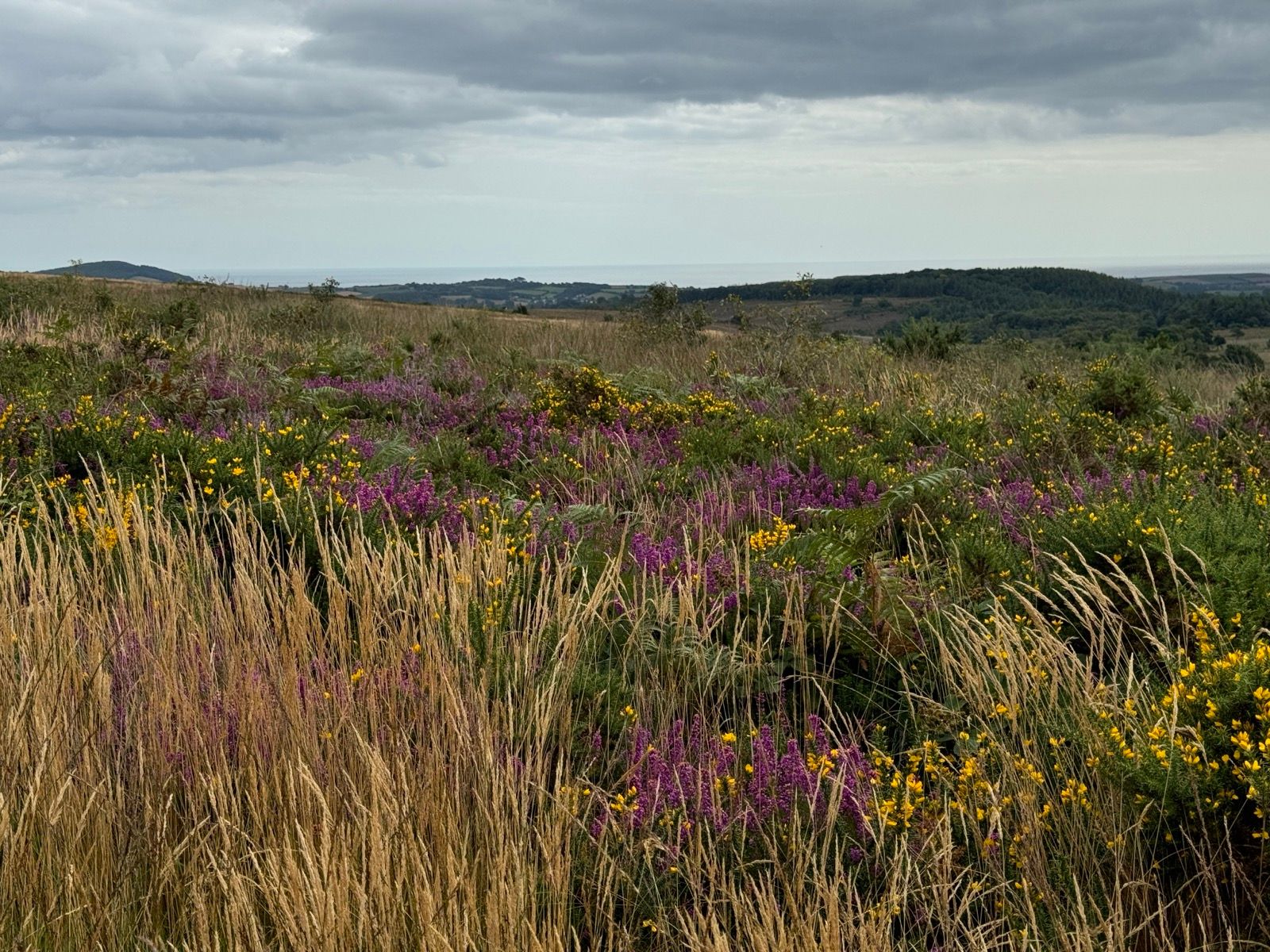
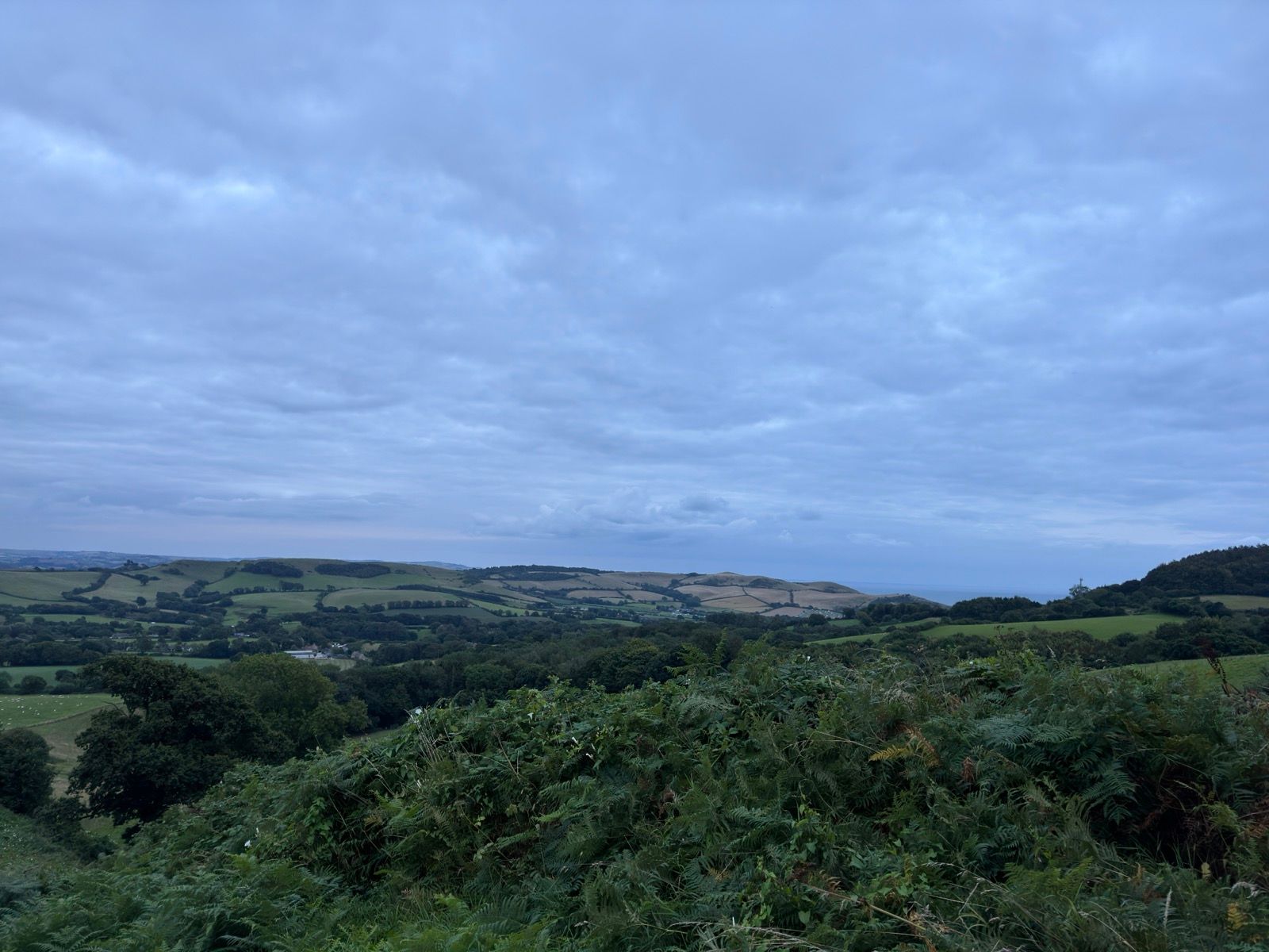
Stocking up with a few provisions in Axminster I headed for the holloways but in my planning for the day I hadn’t spotted any likely wild camping spots on the lanes so I ate my pie and drank my milk overlooking the Dorset hills and Bridport in the distance and then, just before the light faded for the evening, I unpacked the bivvybag and set up for the night.

Hi Carlton
Good to meet you on the trail
We also got a photo of you & will e-mail it over
All the best
Col
Thanks. Got it.