
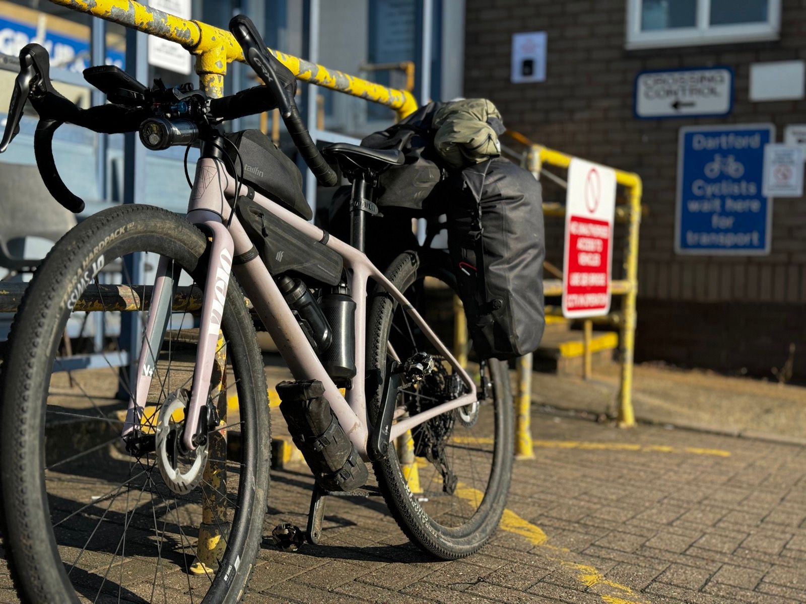
The Thurrock London Ibis hotel, where I was staying, is just a couple of hundred metres from the free shuttle service for cyclists needing to hop over the Thames at the Dartford crossing. This service, a statutory obligation, operates 365 days a year and almost 24 hours day. Get to a yellow telephone, says a gov.uk website about the crossing, and you’re straight through to the control that will send the car that’ll shuttle you and your bike.
(Tandems and other bikes that can’t be loaded on to standard roof rack carriers need to call a different number.)
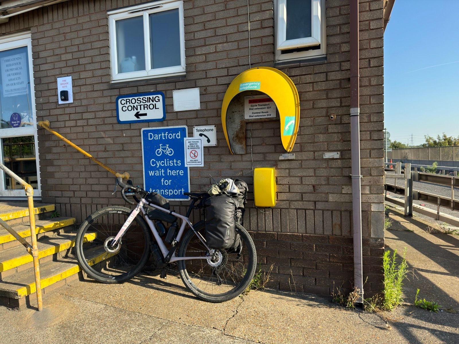
The government website provides a vague address and a postcode for the location of the yellow telephones. On the West Thurrock side of the river the postcode takes you to a gated industrial estate. A weary looking securitiy guard came out and said, no, this wasn’t the shuttle’s location. Yes, he has seen lots of cyclists turning up at the security gate. No, he didn’t know where the shuttle left from.
I cycled up and down the HGV-heavy London road and couldn’t work out where the shuttle might leave from or the location of a yellow telephone. So I rang the number on gov.uk. A guy answered and told me roughly how to get to the elusive telehone, but he said the best method was to follow a what3words address.
Do you have the app, he asked. Yes, I answered, I’ve used it lots.
“Er,” he faltered, “but I don’t know the three words. Hang on …”
He asked around the office. No, nobody knew the three words.
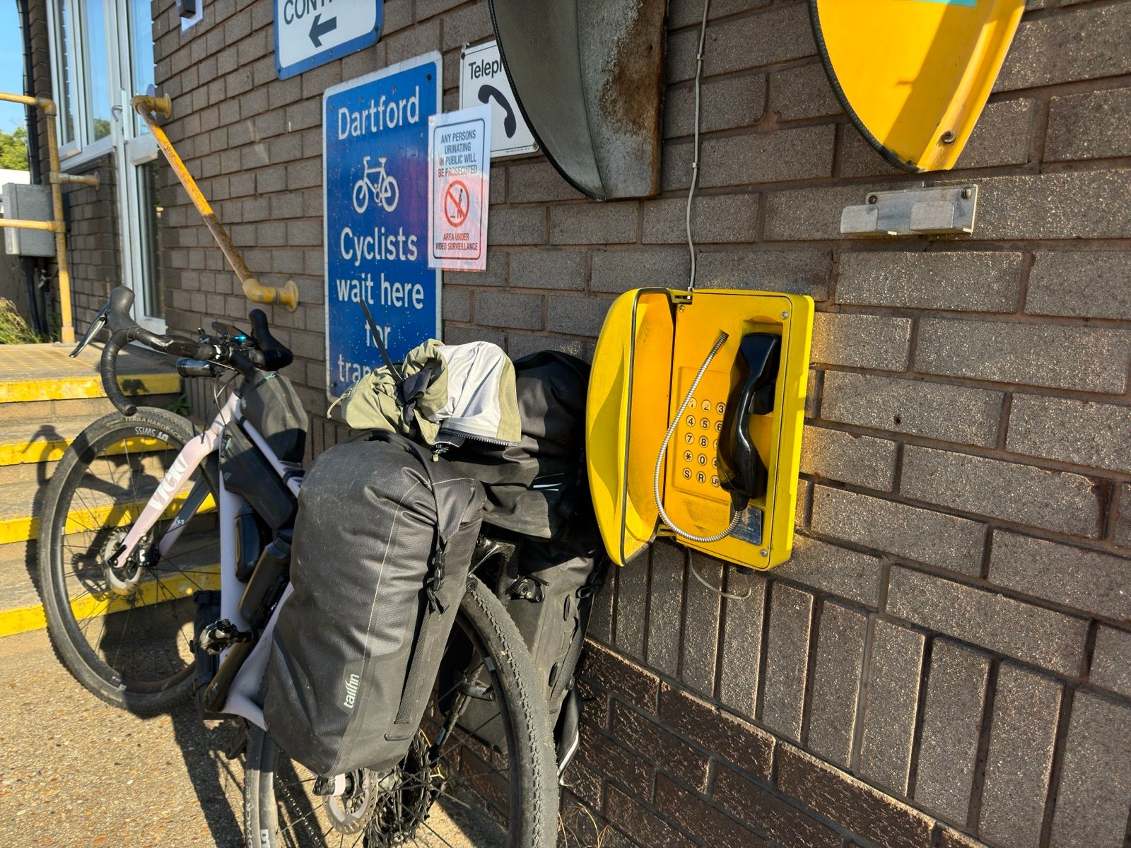
Hmm. So, instead, I followed his original instructions — “go through a narrow gap in a blue gate and climb the hill and you’ll find the telephone …” — and found a meaty looking gate that had a gap a cyclist could get through. It looked iffy, but I persevered and at the top of the ramp there two National Highways security cars with the officers standing chewing the fat. I asked one of them if they knew of a yellow telephone. Yes, he said, it’s over there behind those recovery trucks.
The delivery trucks were also hiding the control room for this side of the Dartford crossing. This was looking good so I rode over to a small yellow box on the wall of the control room and spoke to a woman operator. The shuttle will be with you within 10 minutes, she said. Crikey, it must work then!
Sure enough, ten minutes later and a security truck pulls up and parks. There was a three-bike rack on the back of the car. Should I take my bags off, I asked, knowing the answer. “Yes, throw them in the back,” he said, not offering to help with the bike rack.
I assumed this must be a liability issue — there are several notices dotted about saying the operator of the service wasn’t liable for any damage or losses — and ran through the permuations of fitting my bike to the rack. There were several frame clamps, two of which wouldn’t fit over the flat eccentric top tube of the Vielo V+1. By moving the bike to the outermost of the three bike shelves and using the remaining clamp to grip the seatpost, I had a fix. Worried I was holding up the drive — who didn’t seem at all rushed — I threw the pannier bags in the back seat of the truck and got in myself.
A few minutes later I was deposited on the outside the control room on the other side of the river. I videoed the whole episode and will load a video where once edited.
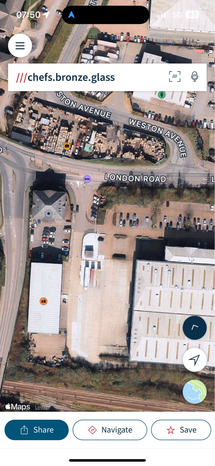
[The what3words location for the yellow telephone on the Thurrock side is chefs.bronze.glass The Dartford side is slip.vareties.create]
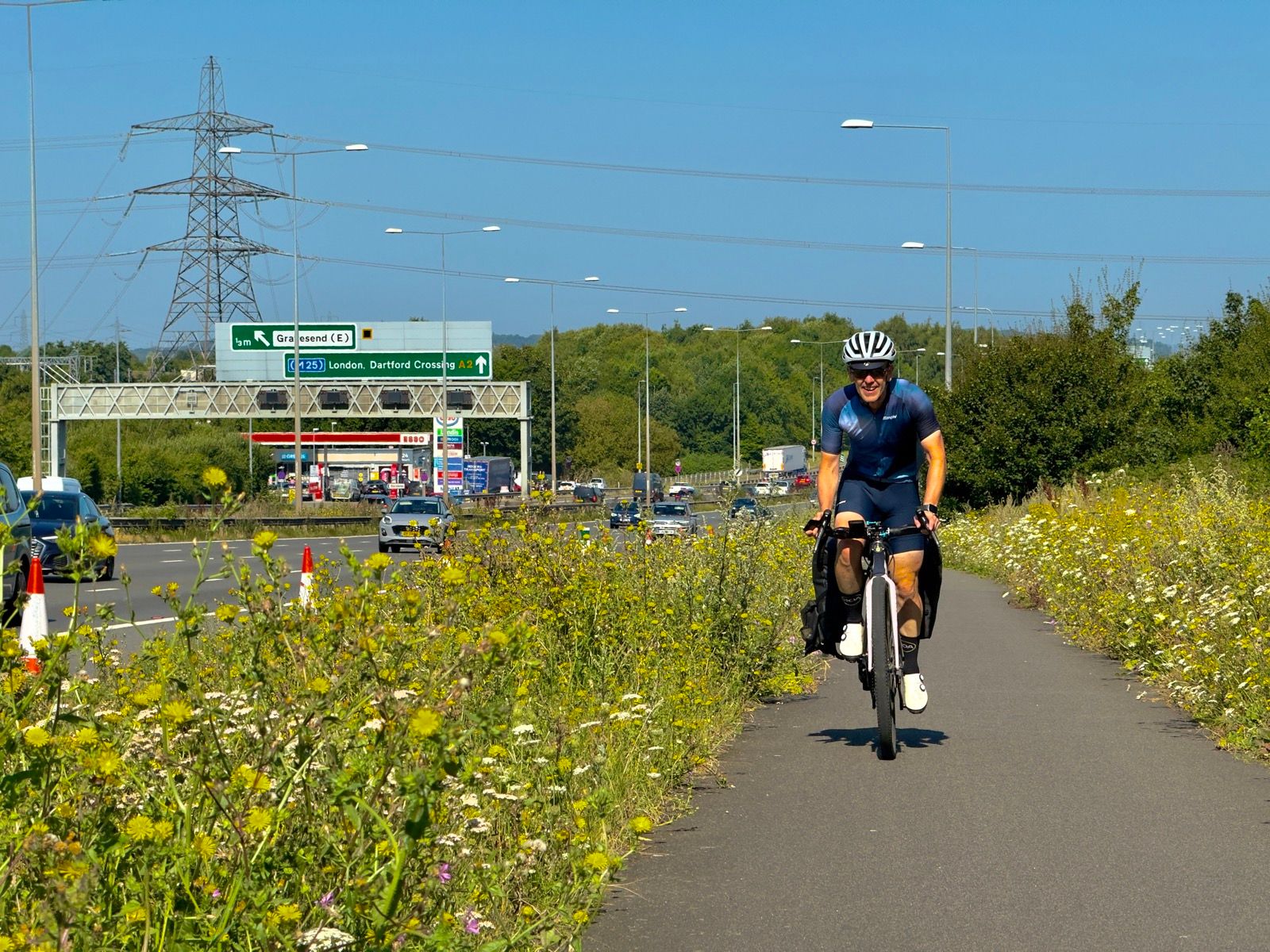
“Watch out when crossing that roundabout,” the driver said as we parted, “it’s lethal.”
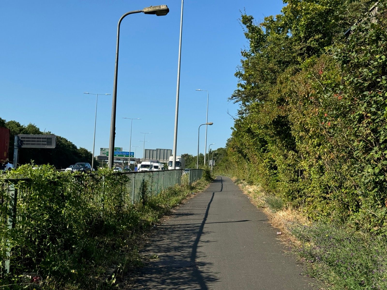
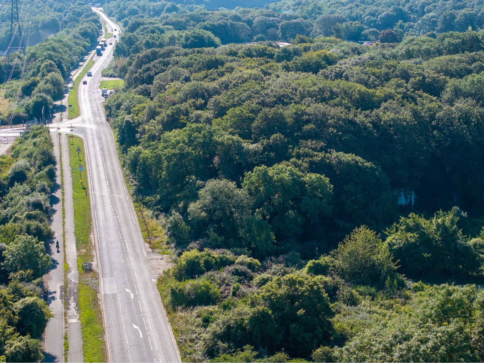
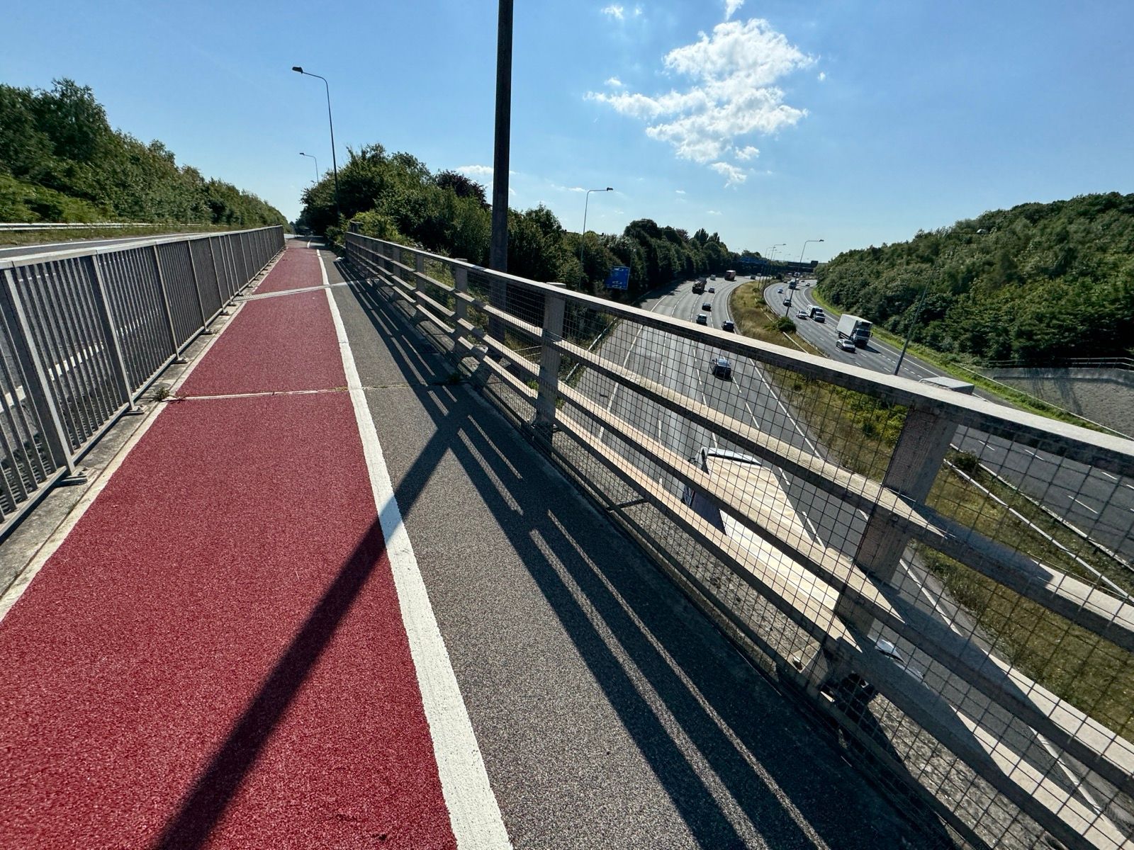
It would be if there wasn’t a staggered cycleway that dog legged around it. Within just a few minutes I was on the cycleway part of Watling Street, the main Roman road from Dover to London. Much of it is also the A2, of course.
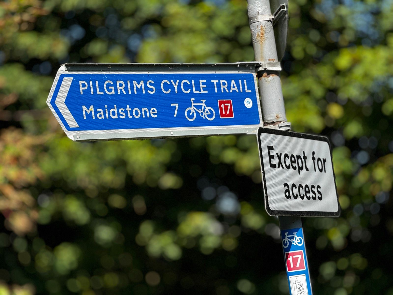
This was the first of that day’s historic highways, and I tuned out the noise of the motor traffic. Until I turned off Watling Street at Strood I followed a succession of OK, good and very good cycleways, desingated as Route 1 of the National Cycle Network by Sustrans. I was glad of the provision.
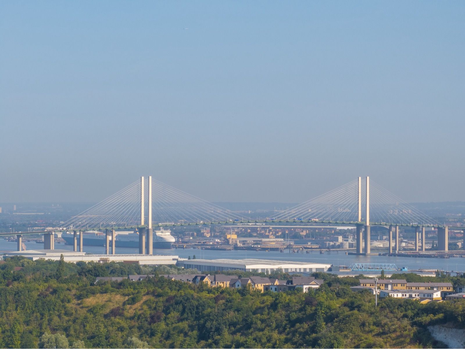
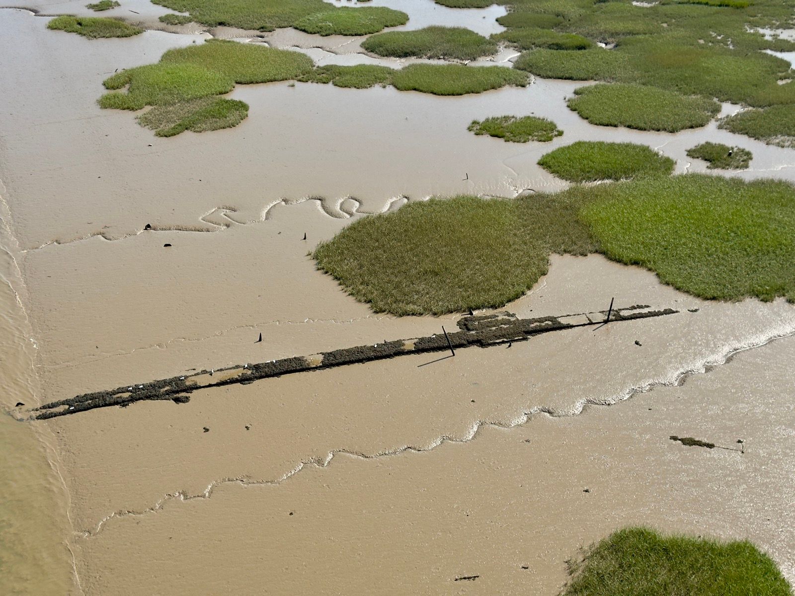
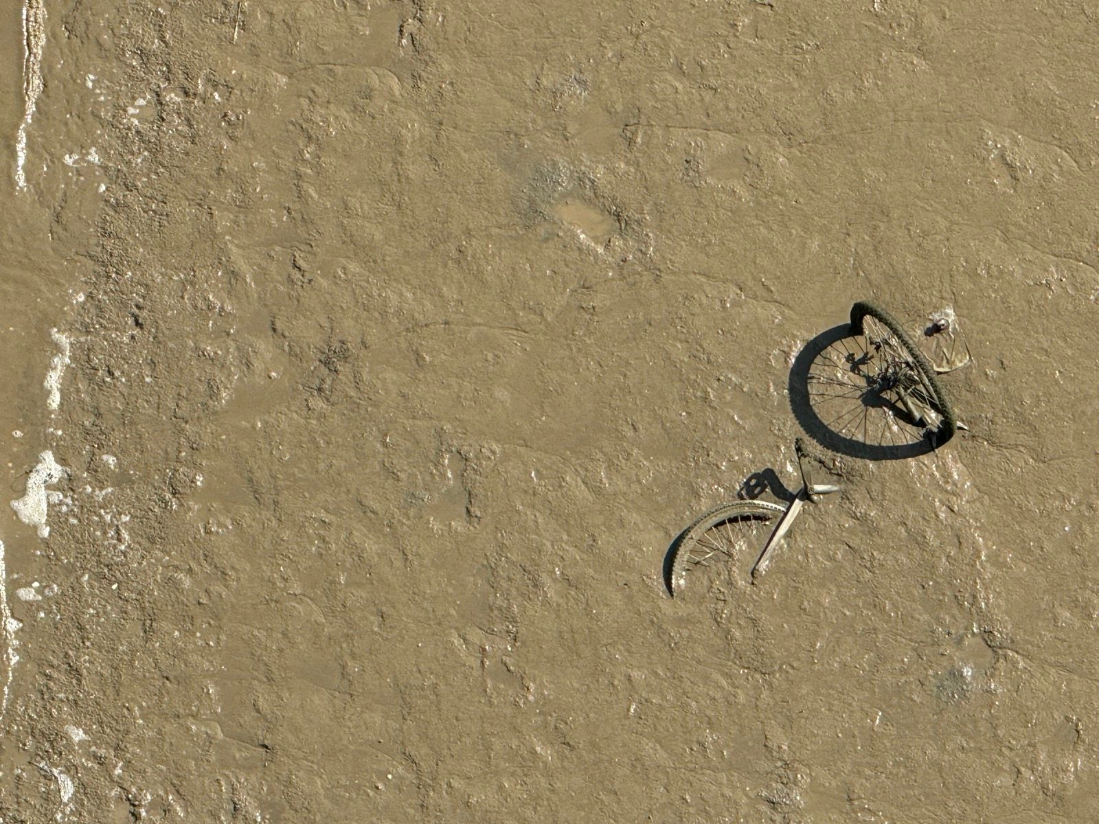
Where it was safe and legal to do so — I use the Drone Assist app religiously before every flight — I flew the DJI Mavic 3 Pro to photograph the Queen Elizabeth II bridge/Dartford Crossing and myself riding on Watling Street.
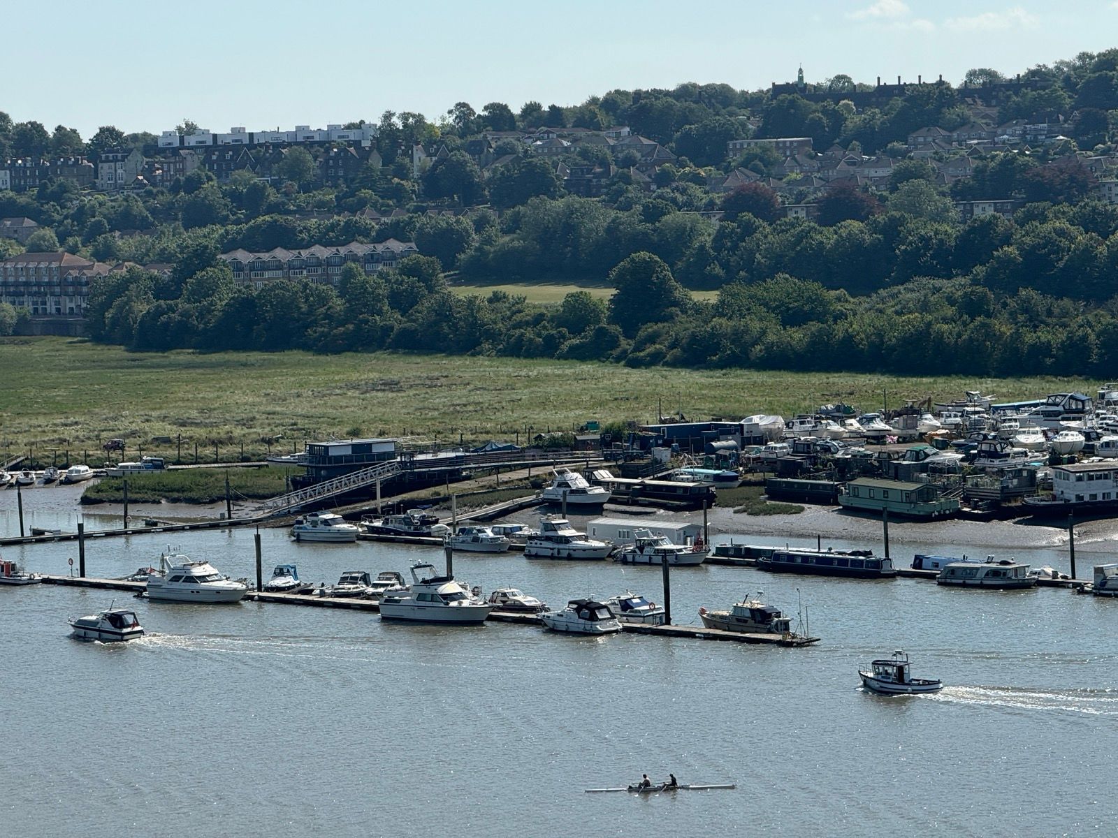
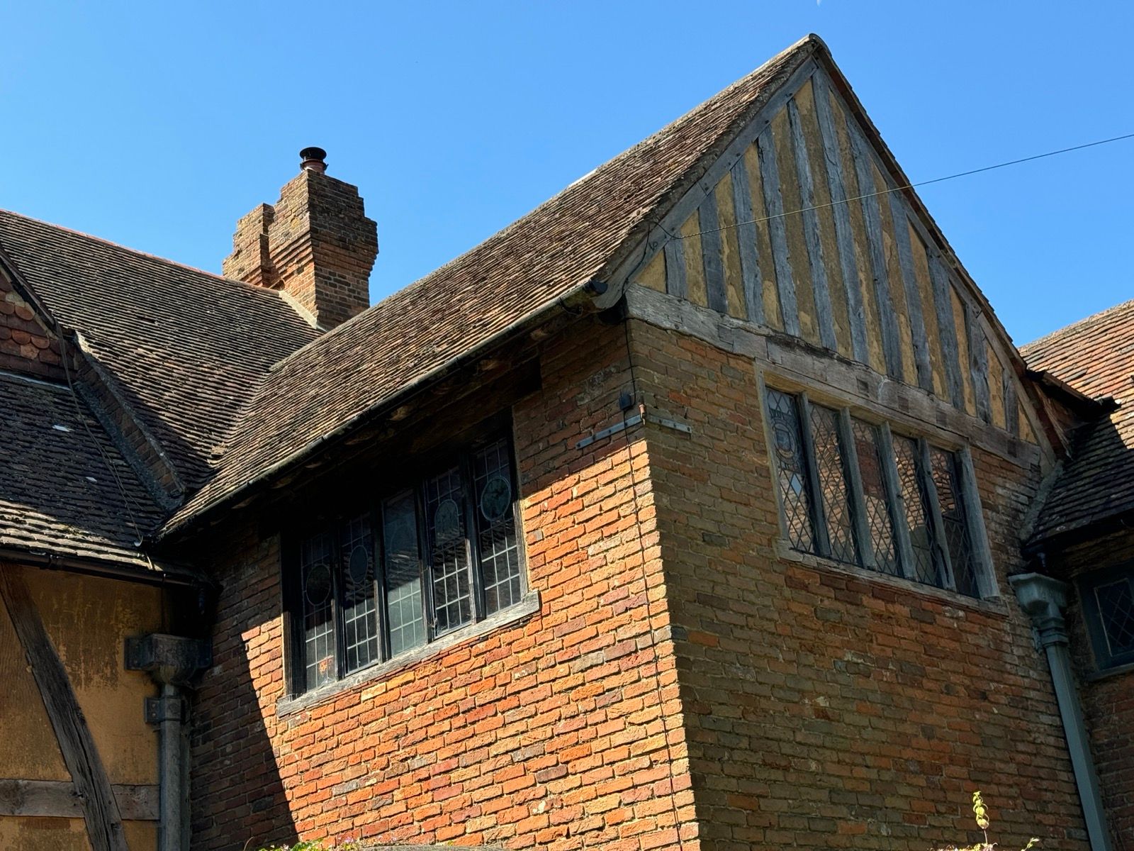
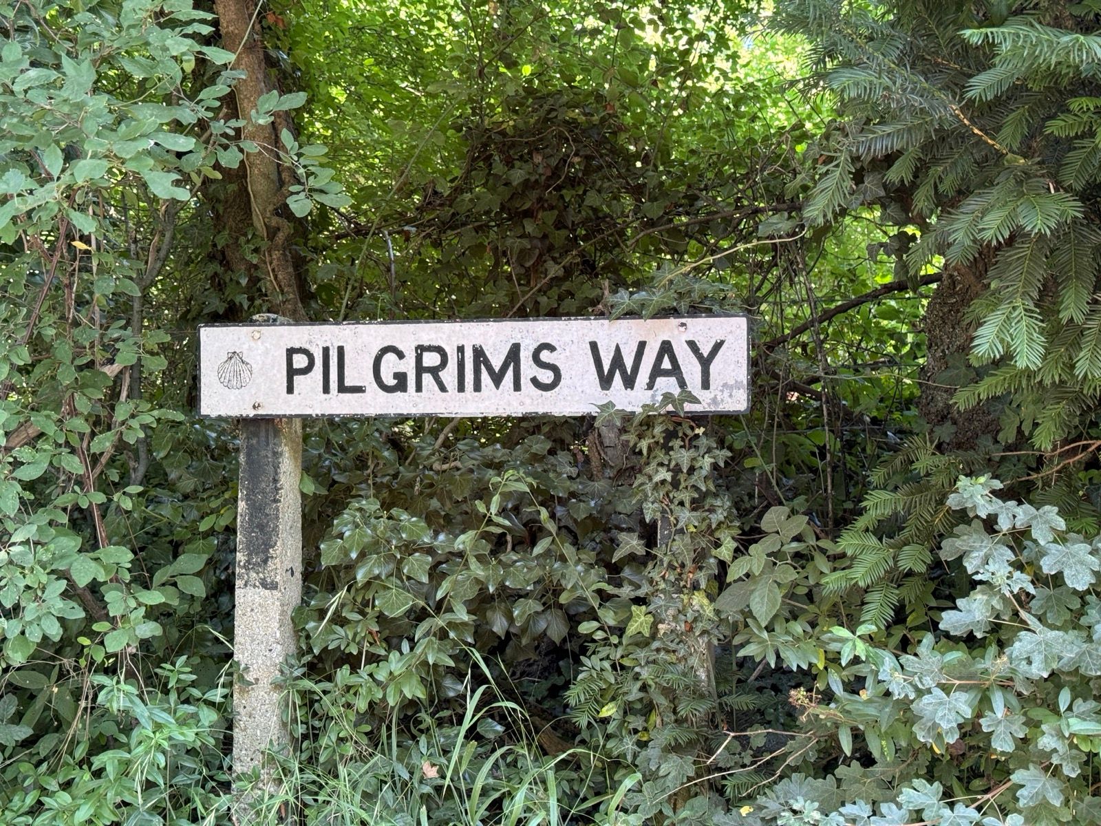
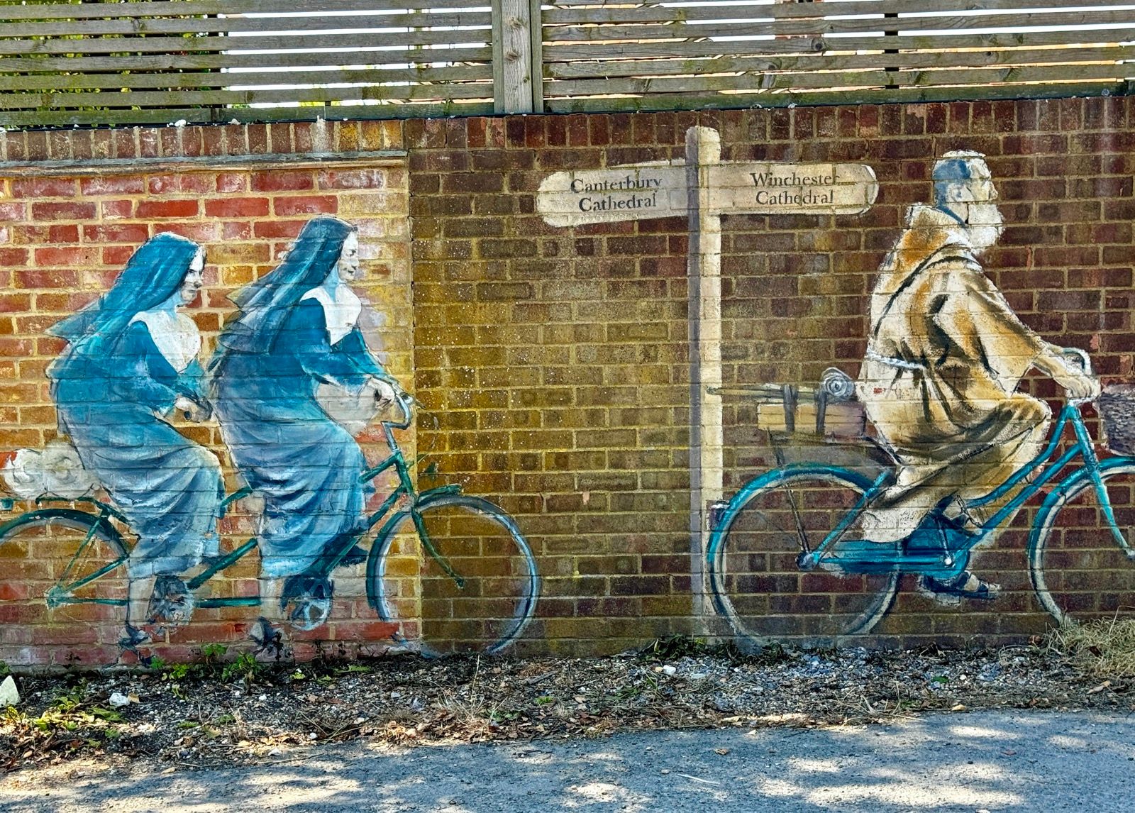
With the M2 to the right I crossed the River Medway south of Strood and picked up the lumpy Pilgrim’s Way, of possible ancient origin but also possibly the invention of an enthusiastic but evidence-light Victorian OS surveyor. Either way, it’s a pleasant route that certainly passes through early medieval villages with their hostelries.
The tap highlighted for weary cyclists and walkers by the Dirty Habit pub of Hollingbourne (claimed to have parts dating back to the 11th century) doesn’t work. The pub was gutted by fire in 2022, although workers are now rebuilding it. Maybe they could turn the tap on in the meantime.
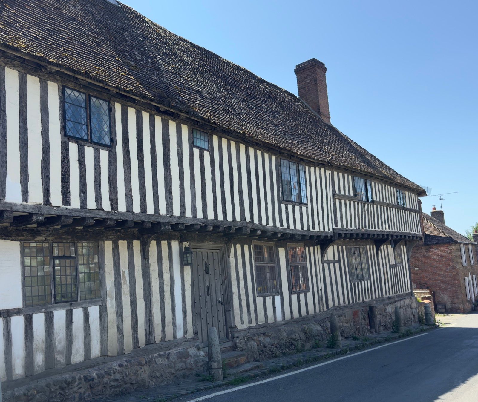
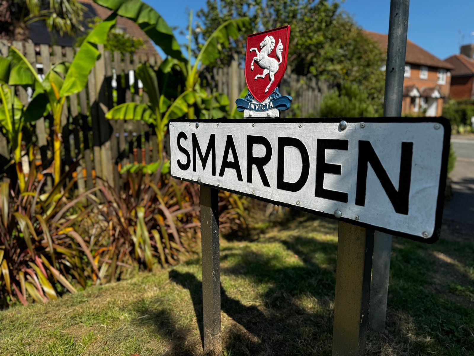
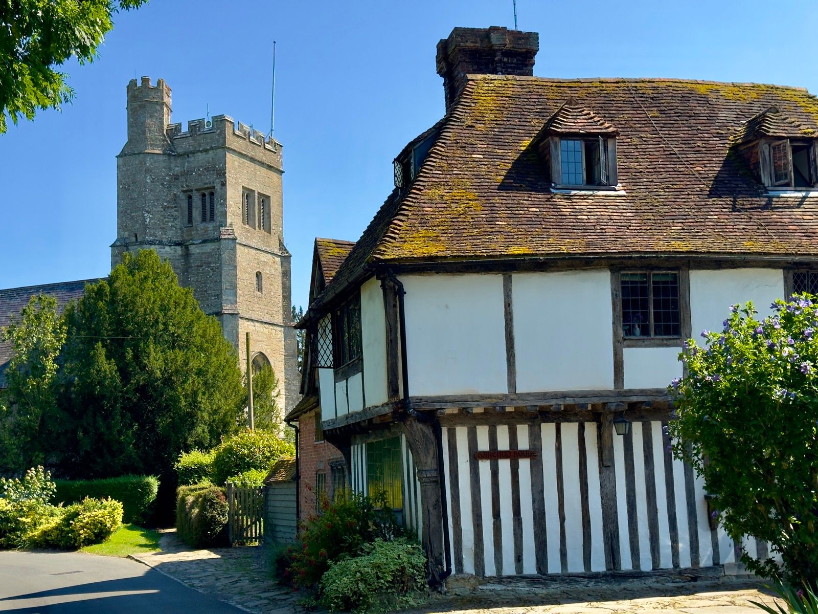
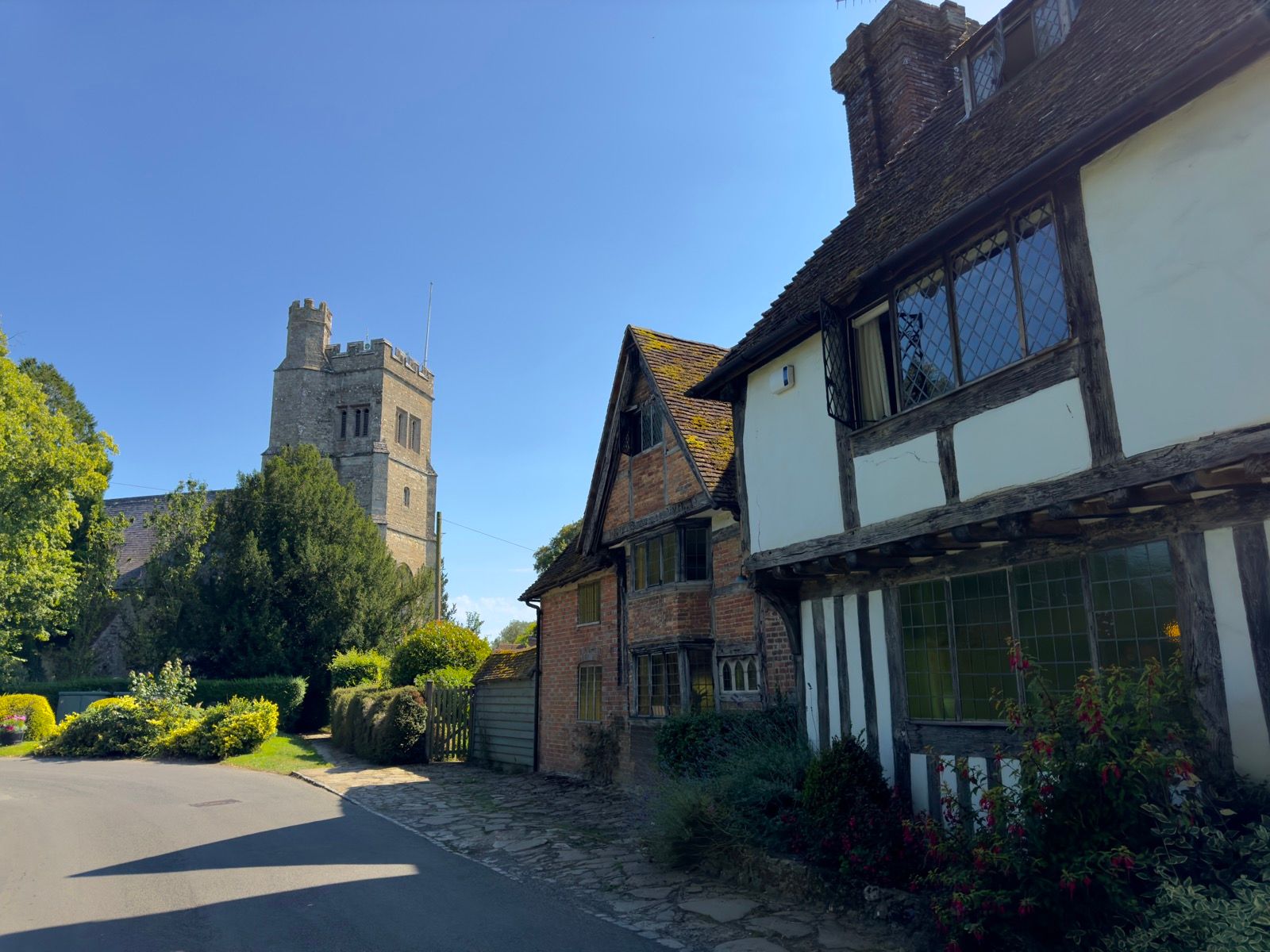
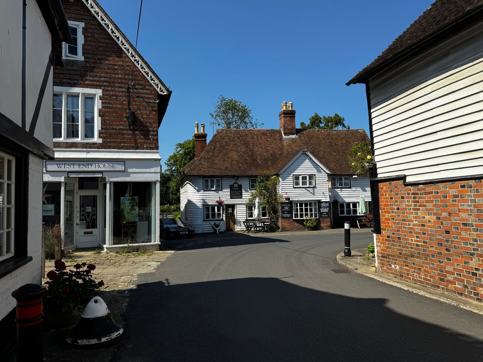
I was heading for lunch in Smarden with Mark Bickerton, the UK’s Tern agent and who I’ve known for the best part of 35 years.
Afterwards I meandered through the village and, as Mark said it would be, it’s as quaint and quaint could be.
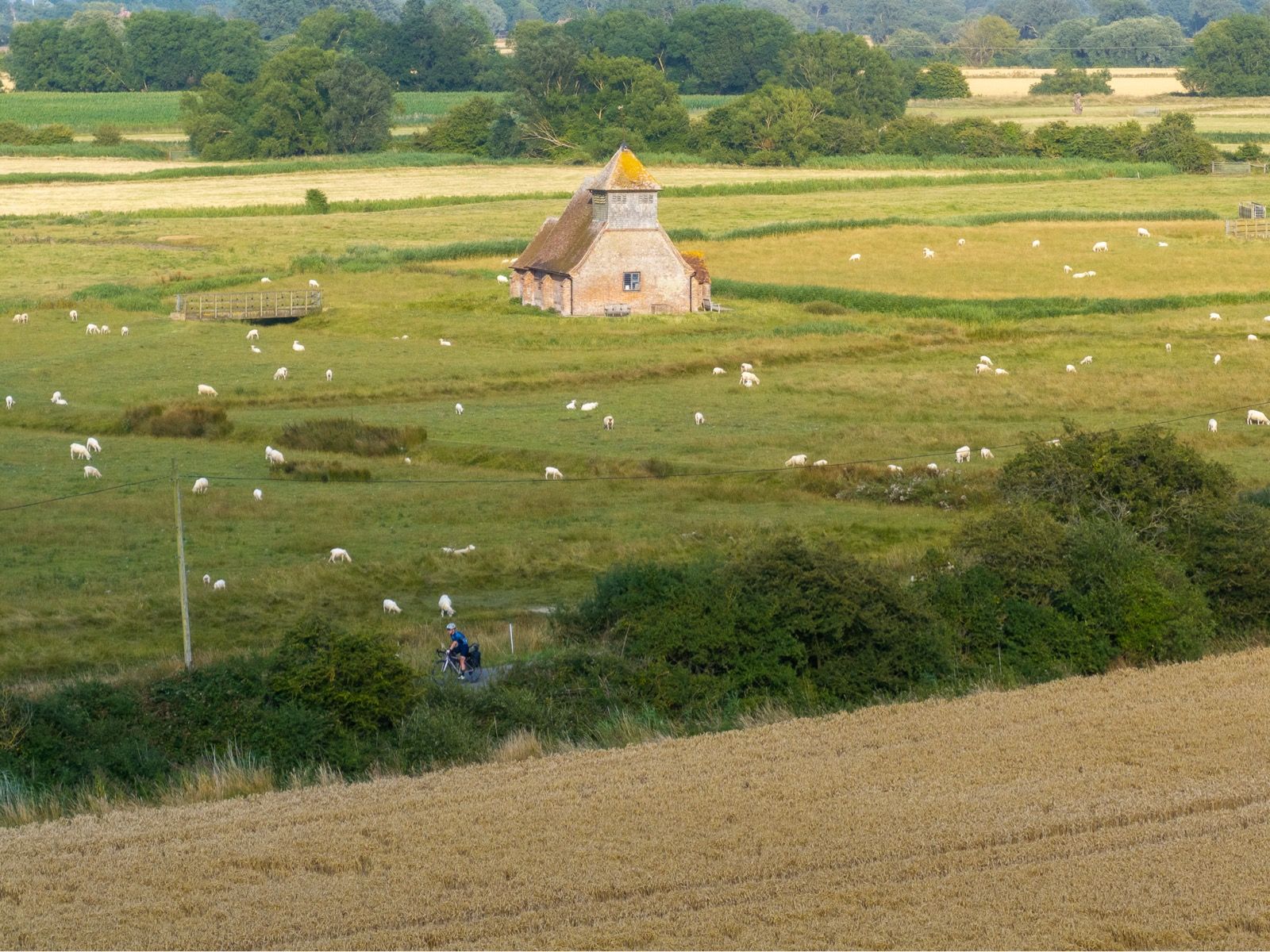
I was now on a route to Dungeness suggested by Mark, avoiding Chatham, and instead going past the solitary Romney Marshes church of Thomas a Becket at Fairfield. The church is within a birdy SSSI but I could fly the drone outside of the exclusion zone and use the zoom lens to (almost) get the shots of this treeless church I was after.
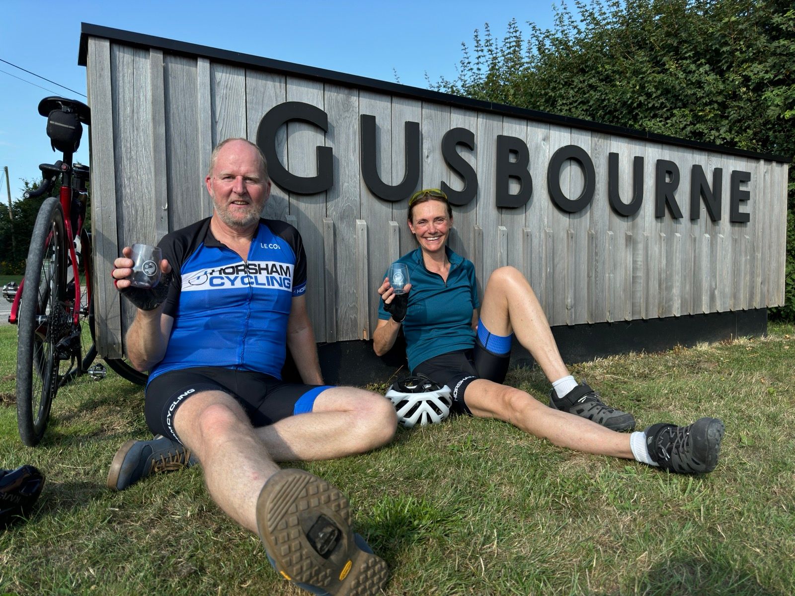
Now heading for Appledore there was something about that name that rang a bell so I did an email search. It was the location for a winery I was due to report on in a week. And I was just two or three miles from it, and it was the slightest of detours to take me directly to it.
Everybody had clocked off by the time I arrived but, outside the soon-to-be-locked gates and sunning themselves beside the winery’s large sign, were cyclists David and Carole Worralls. We chatted awhile before they left for their nearby hotel and I headed for a wild camping spot some 14 miles distant. So wild there was no connectivity. Lots of peace and quiet though.
0 Comments