I did one of the book loops yesterday afternoon and early evening and wild bivvied for the night at a scenic spot. It didn’t rain.
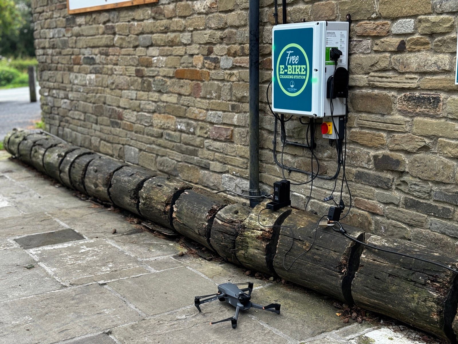
Packed away and got off the hill nice and early and descended to a bike shop/cafe with a free e-bike charger. It also had a standard plug so I charged two of the drone batteries while I ate a Veloforte bar or two for pre-breakfast.
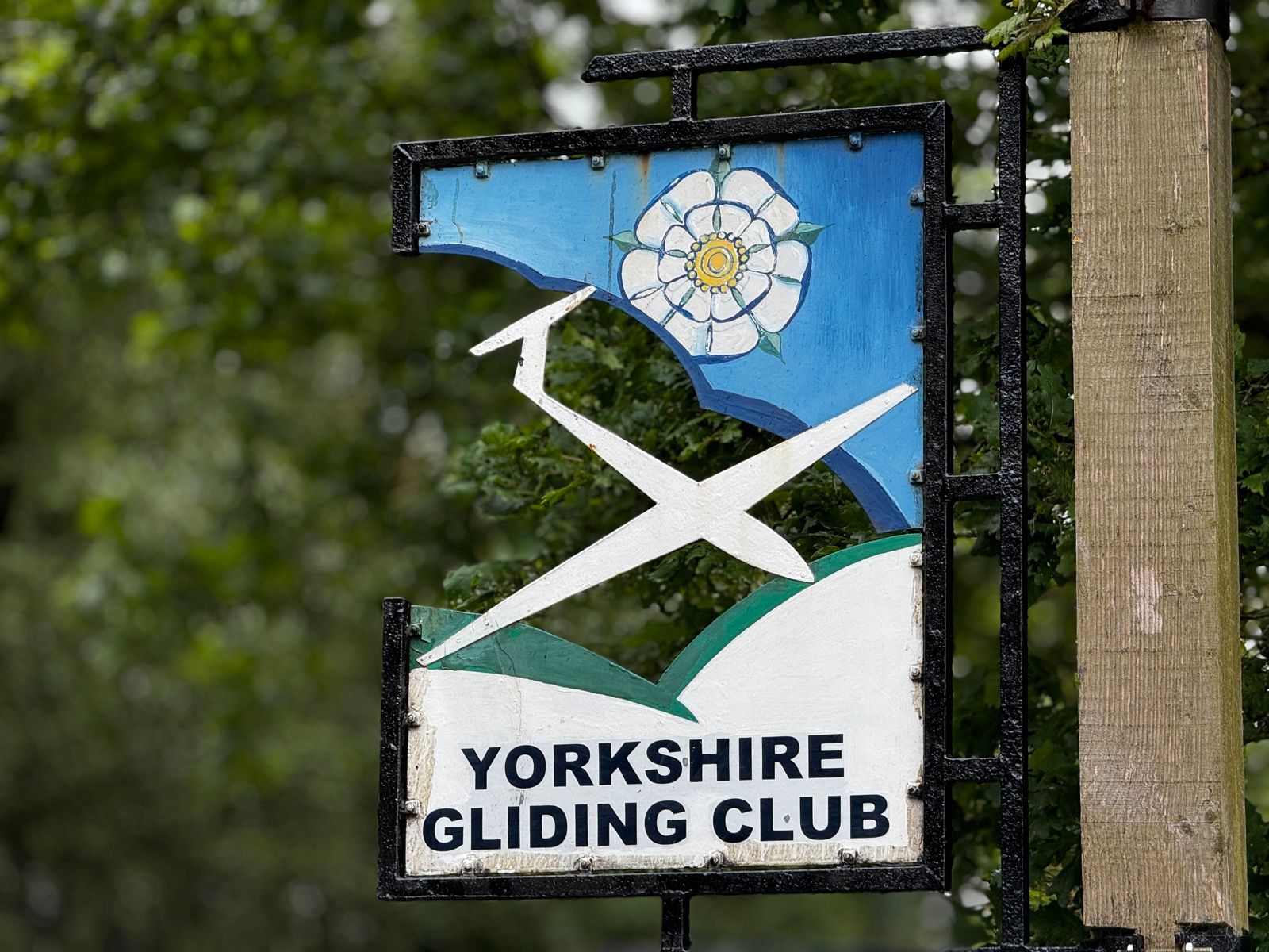
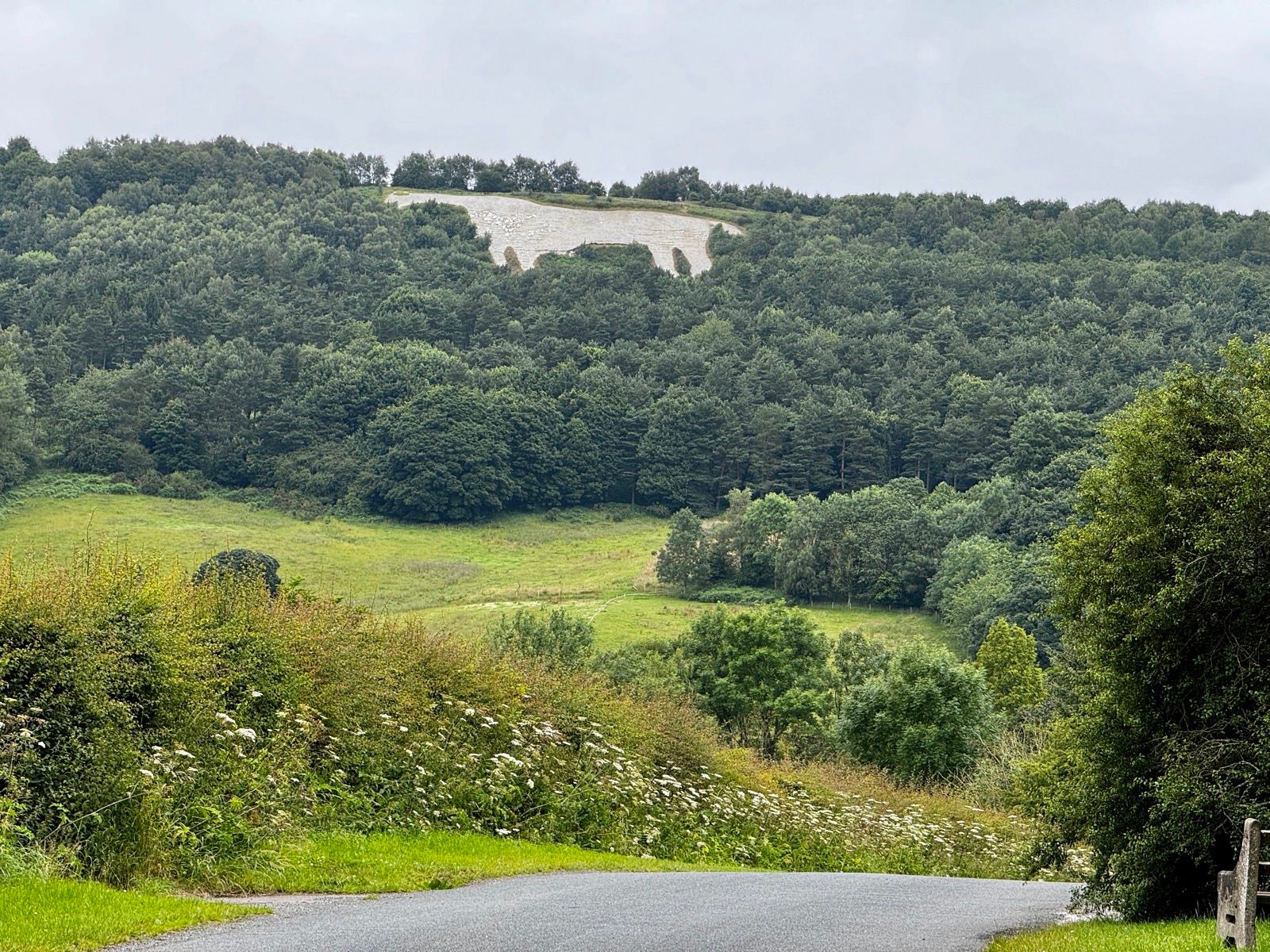
Descending again to the Yorkshire Gliding Club I looked out for any signs of the dummy WW2 airfield that was built near here to fool any German pilots who had trained at the club. It was a popular club even back in the 1930s. Didn’t see anything other than the Kilburn white horse.
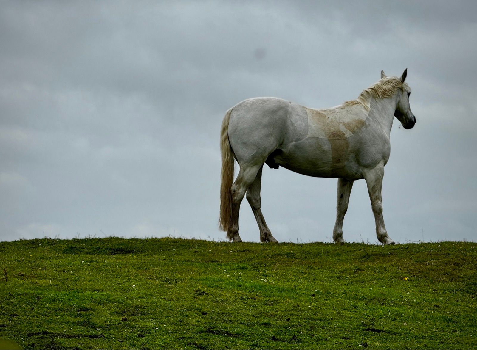
Later on I rode past a real white horse, and I’m pretry sure that’s first white horse I’ve seen this trip.
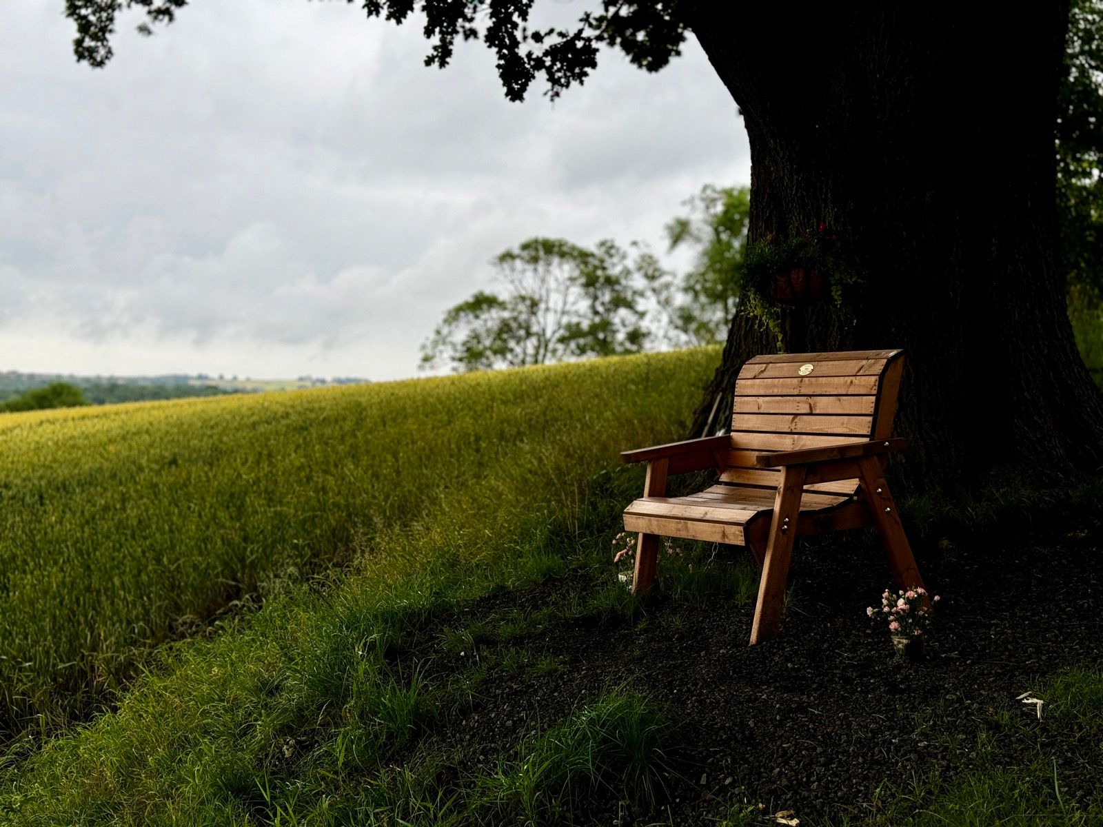
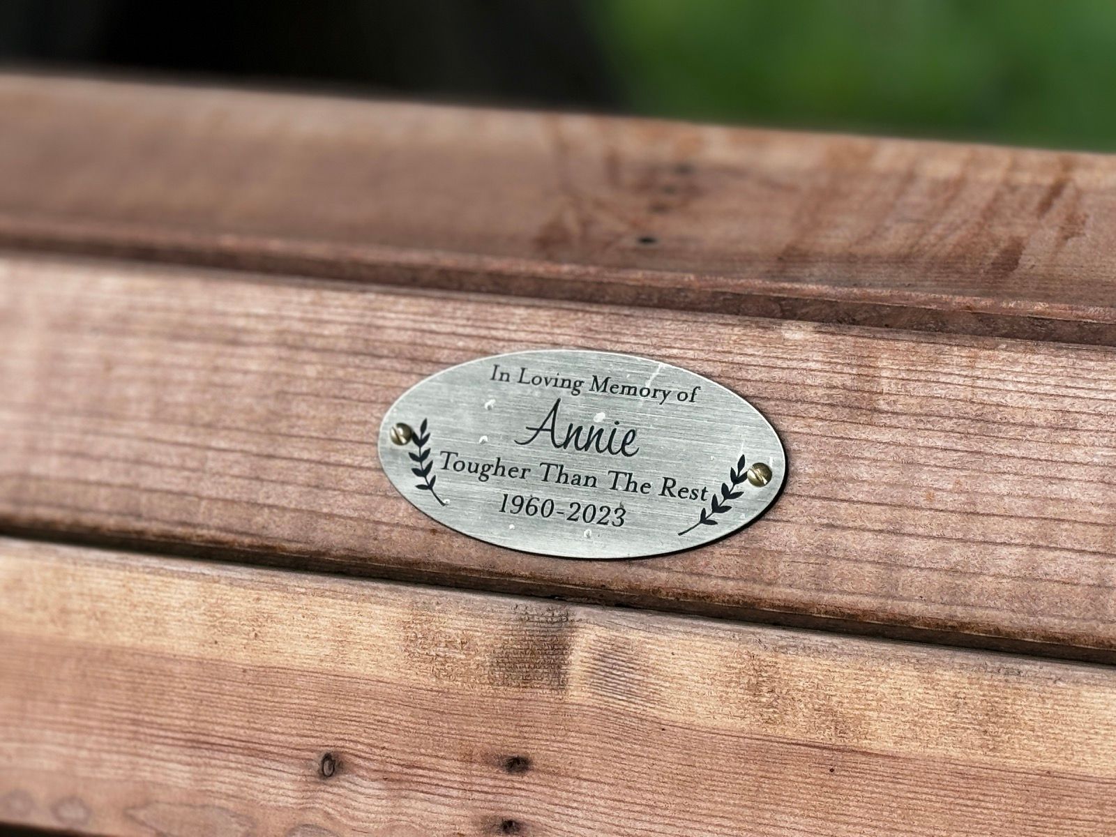
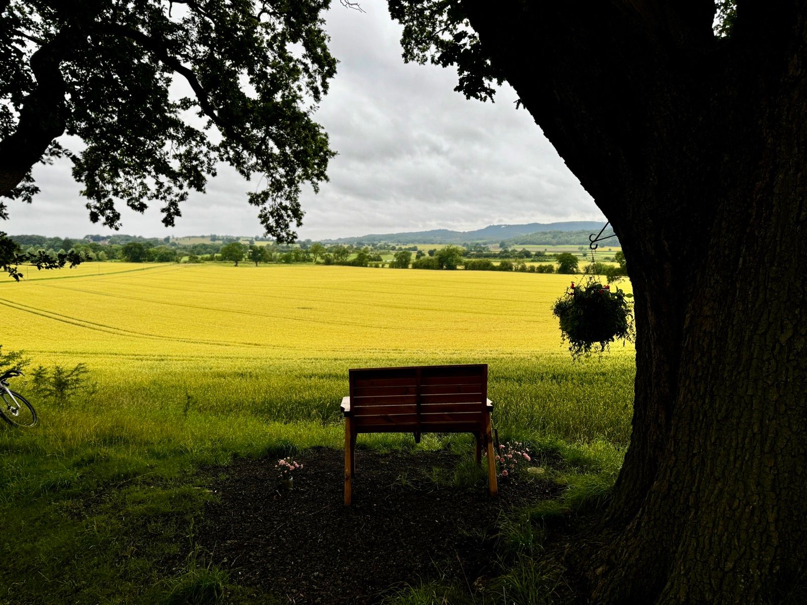
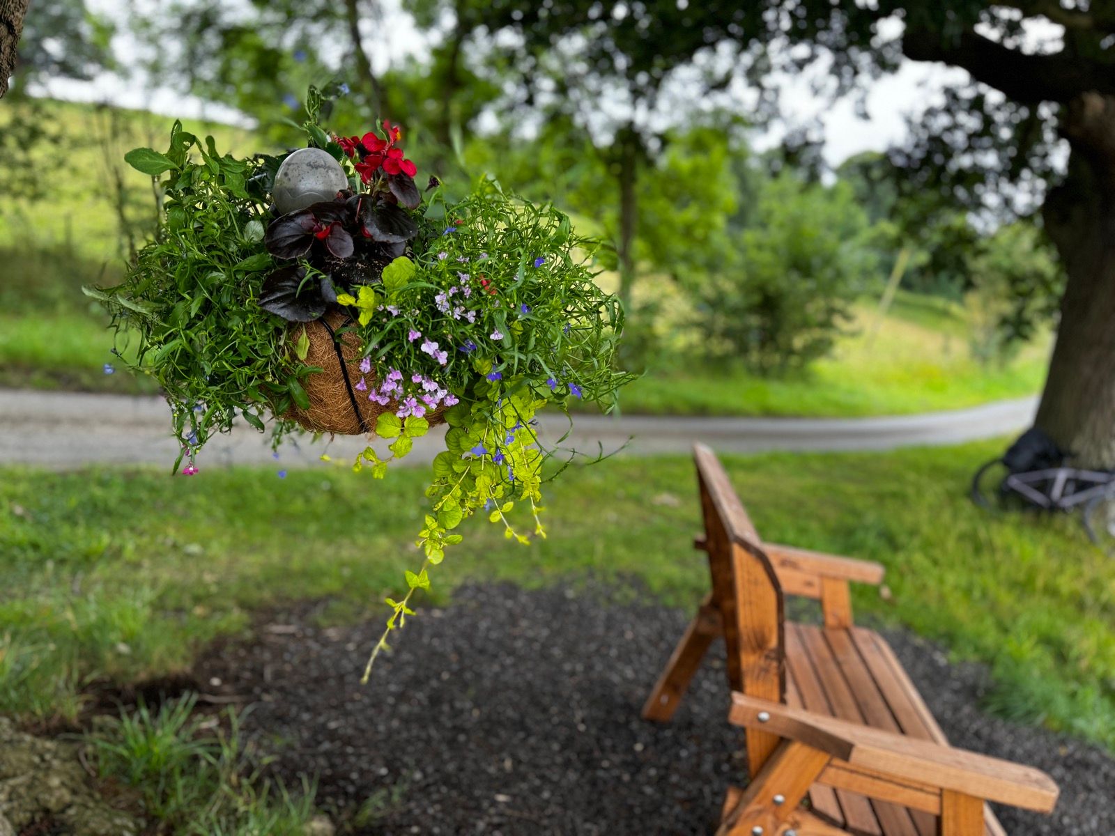
Close to Newburgh Priory I rested for a while in a bench dedicated to Annie who, before she died last year, and so the dedication sign says, was “Tougher Then The Rest.” Lots of care and attention is evident around the bench and I was glad to share what might have been Annie’s favourite view over the Howardian hills and across to the Kilburn white horse.
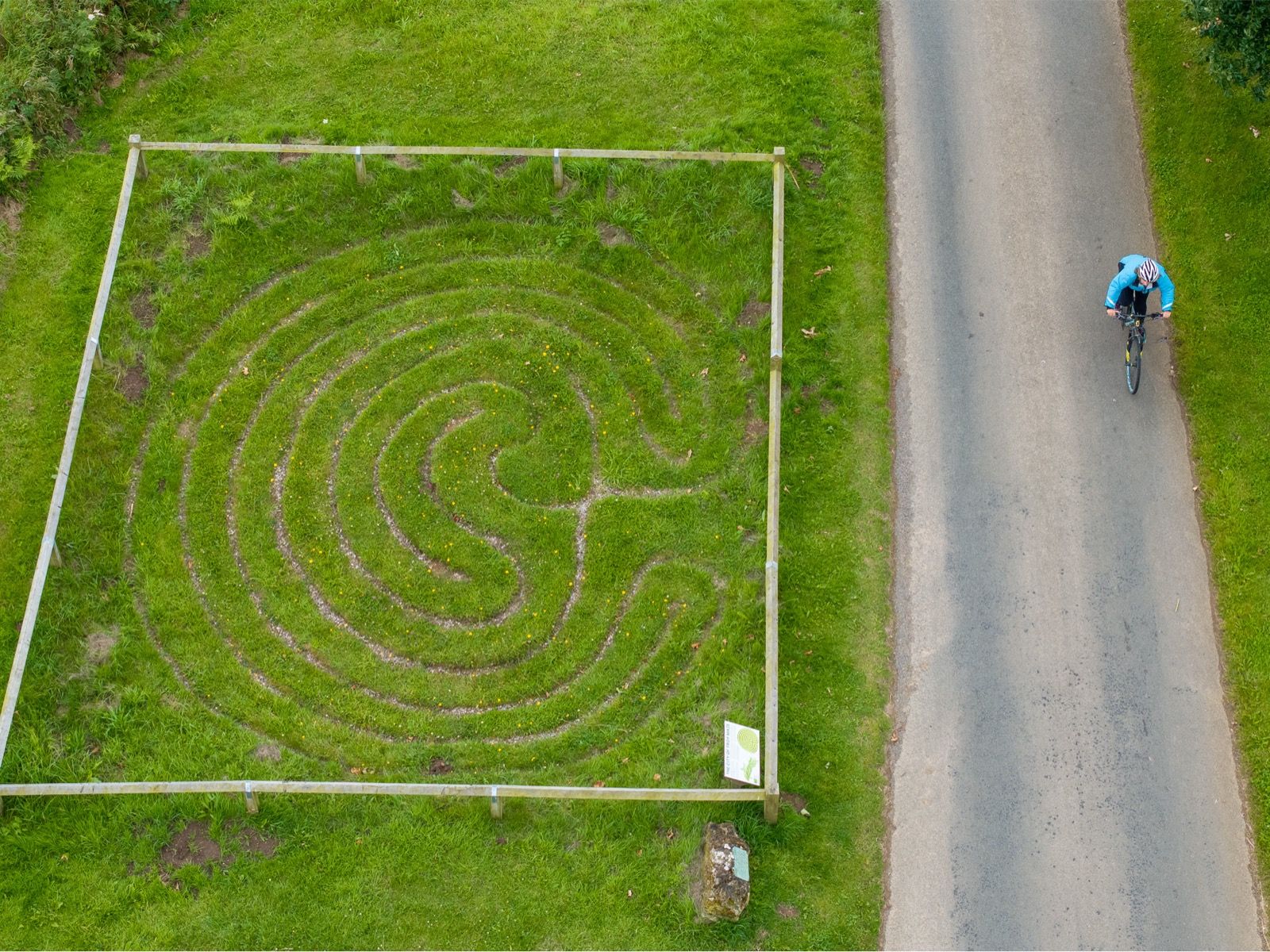
Further on, near Hambleton, I slammed the brakes on when I saw a strange fenced-off area by the side of the road. This turned out to be the City of Troy maze, which, at 5.95 metres wide, is said to be the smallest surviving turf maze in Europe.
It is the only turf maze in the classical seven-ringed design. Likely cut — and recut — by shepherds it doesn’t have a confirmed date but probably cut some time in 17th Century and likely had (rural) ritual purposes.
The City of Troy maze game is ancient and was mentioned by Shakespeare in Midsummer’s Night Dream, written in 1594.
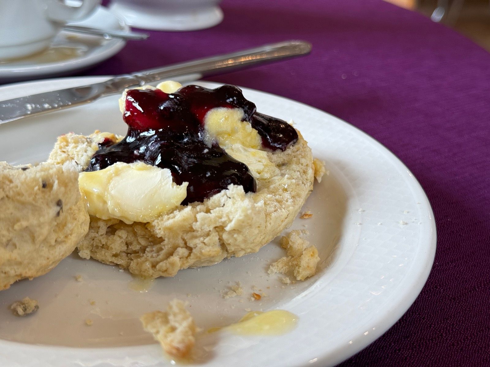
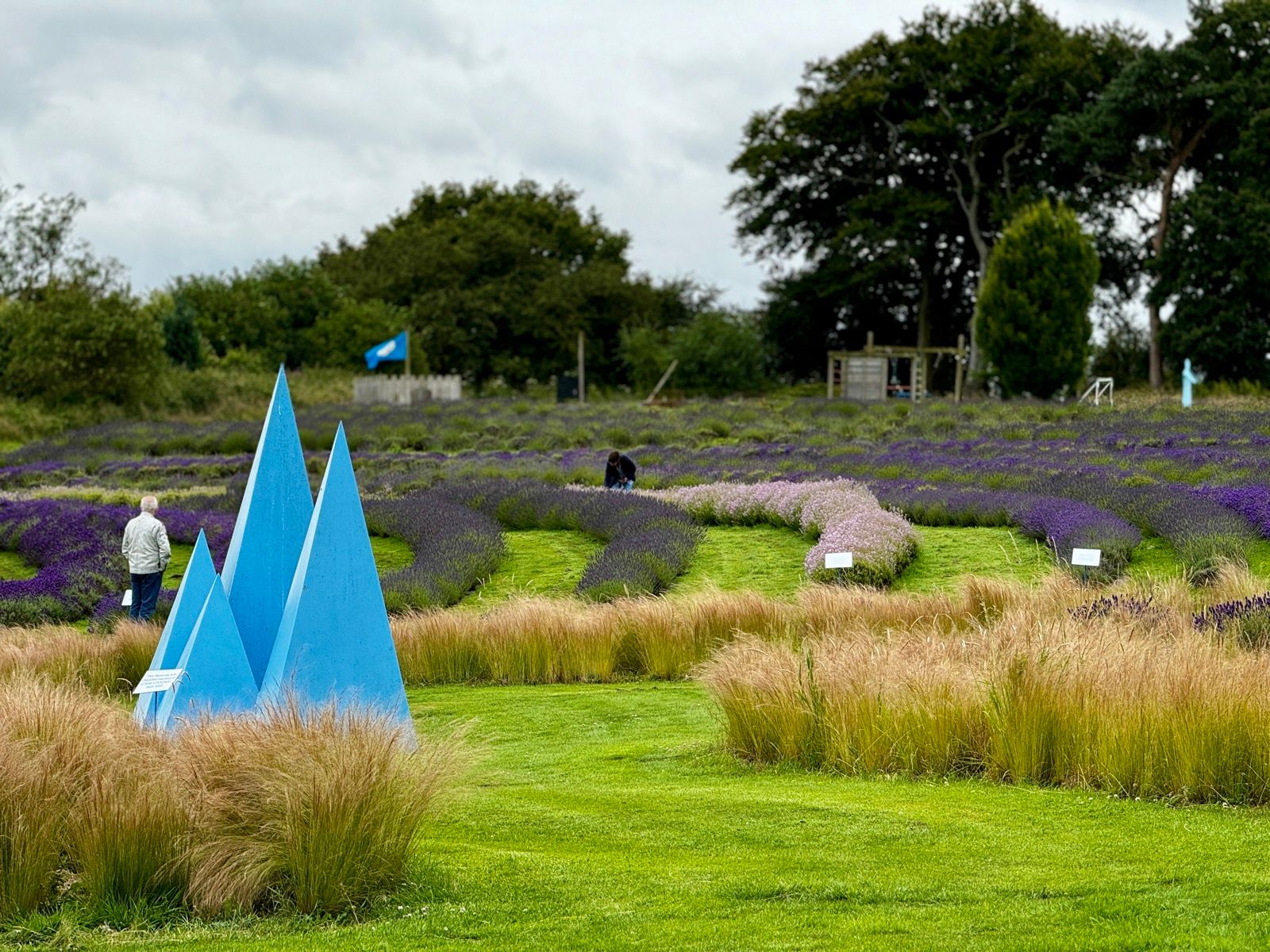
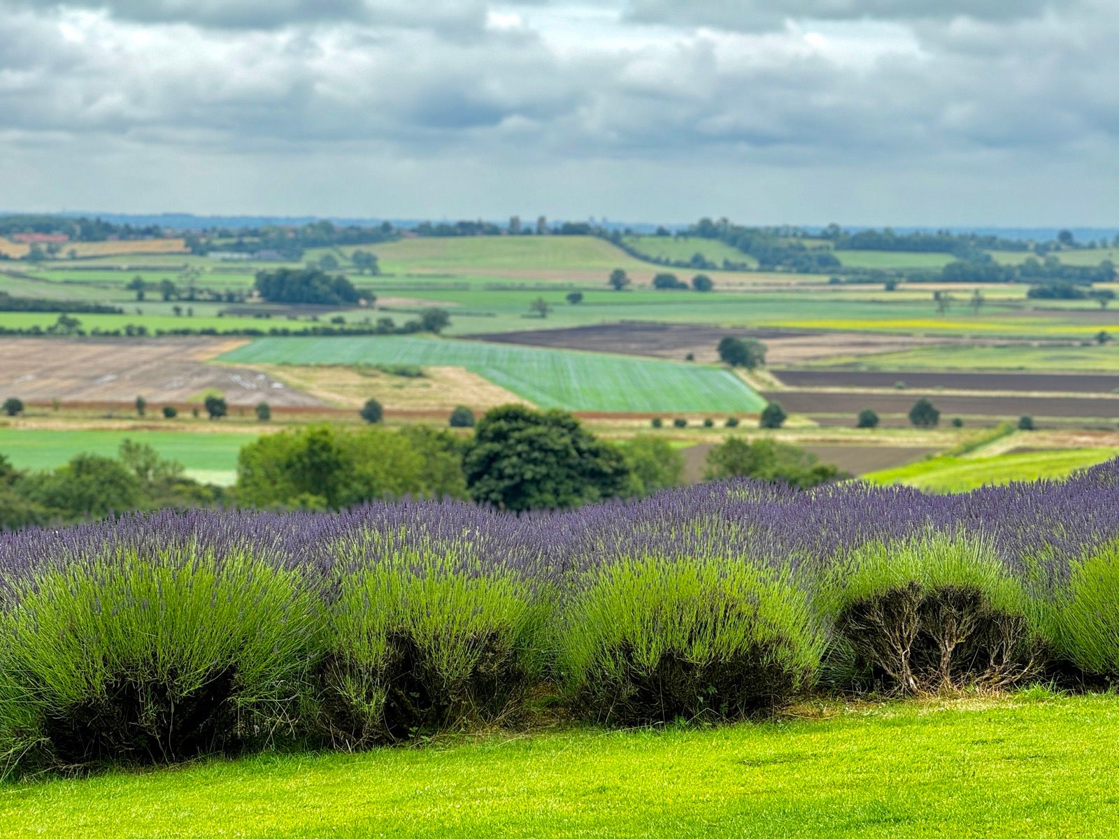
It was now some time since pre-breakfast and I was on the lookout for a shop or cafe. I got both at Yorkshire Lavender in the cute village of Terrington. Breakfast, then, was a lavender scone (and Cornish clotted cream).
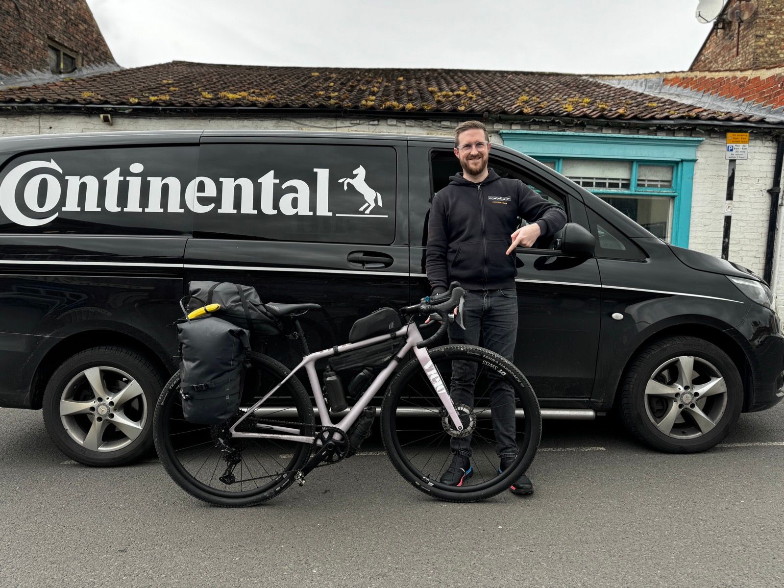
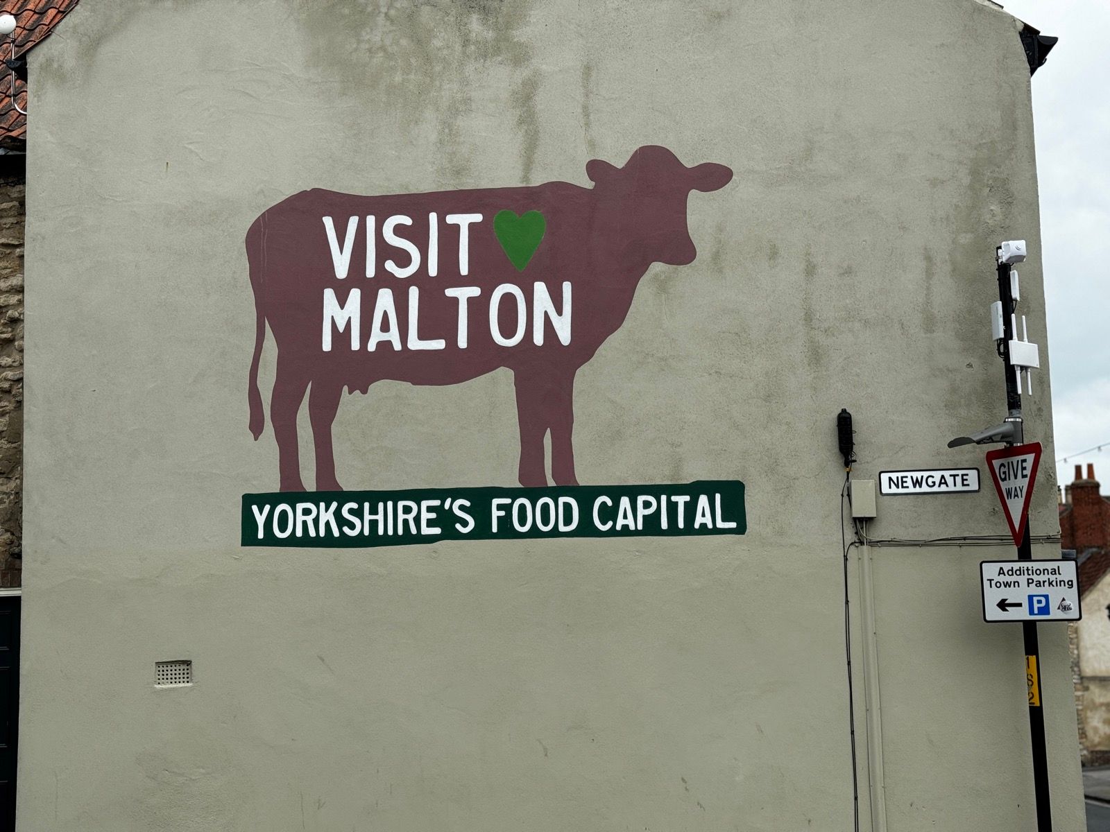
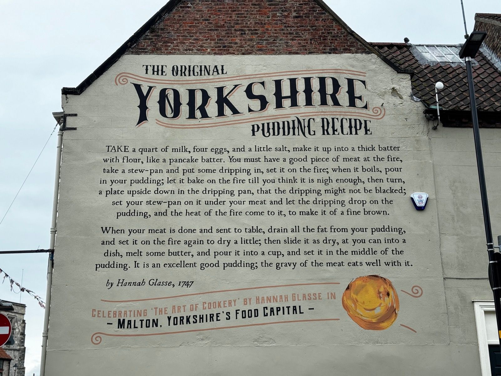
In Malton — “Yorkshire’s food capital” — I stocked up wtih fruit, and zip-tied two bananas to my Tailfin rear bags. On the way out of town I saw Continental van outside one of Malton’s three excellent bike shops. As I’ve been dead impressed with the Vielo’s 50mm Terra Hardpack tubeless tyres I thought I’d let the chap in the van know this.
The chap was Rob Scullion, Conti’s sales manager, and while I had his attention I asked whether the pressure I had in the tyres was just about right. It was. I’ve been running them at well under 40psi, and not had any flats. Well, none visible or that I had to break open my tool bag to fix.
Rob knew who I was. “You know my aunt,” he said. And I do — a fellow Northumbrian, we follow each other on twitter, although Kirsten lives and works in America.
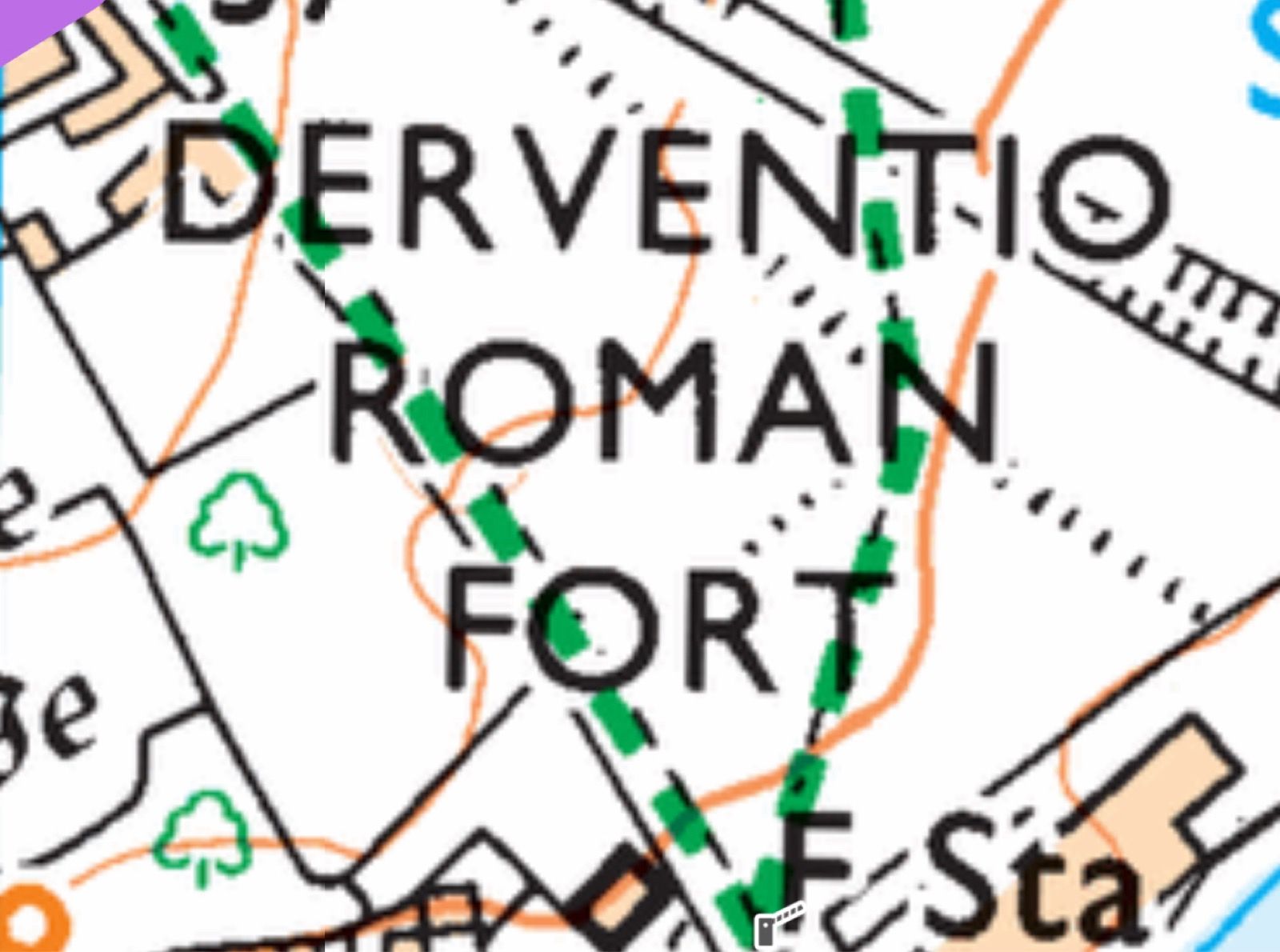
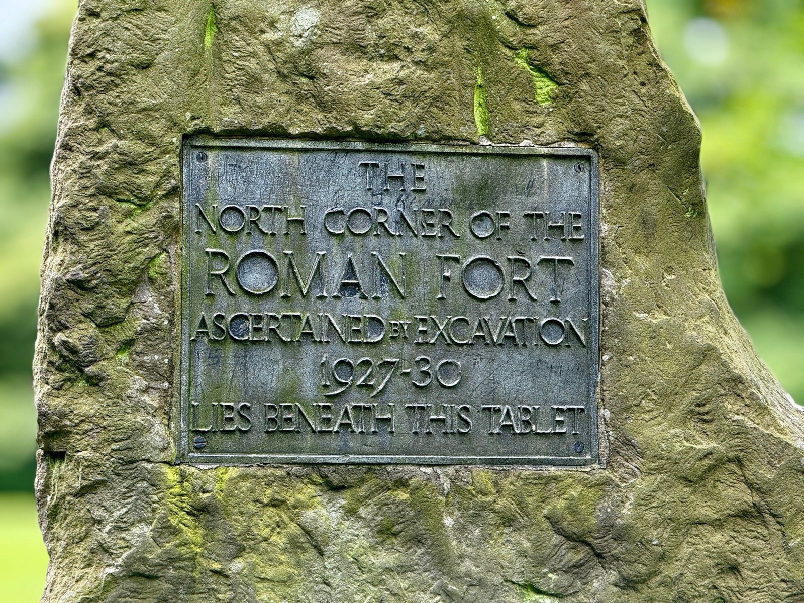
Leaving Malton I took a short detour from my route to see the Roman fort just the outside of town.
For many years Roman Malton was thought to be called Derventio as it was located on the River Derwent. The modern OS map still uses this name. Tut tut.
However, the period Antonine Itinerary travel doc states that Derventio was seven Roman miles from York – Malton is further away than that.
For at least 25 years it has been shown that there is another major Roman site at Stamford Bridge which is also on the Derwent, seven Roman miles from York and that must be the Derventio of the Antonine Itinerary.
This travel doc lists a place called Delgovicia which is 13 Roman miles beyond Derventio – that is the distance from Stamford Bridge to Malton which means that the correct Roman name for Malton has to be Delgovicia.
There’s not much to see at the site, except for lumps and bumps, which I rode up and down, looking out for any deeper pits.
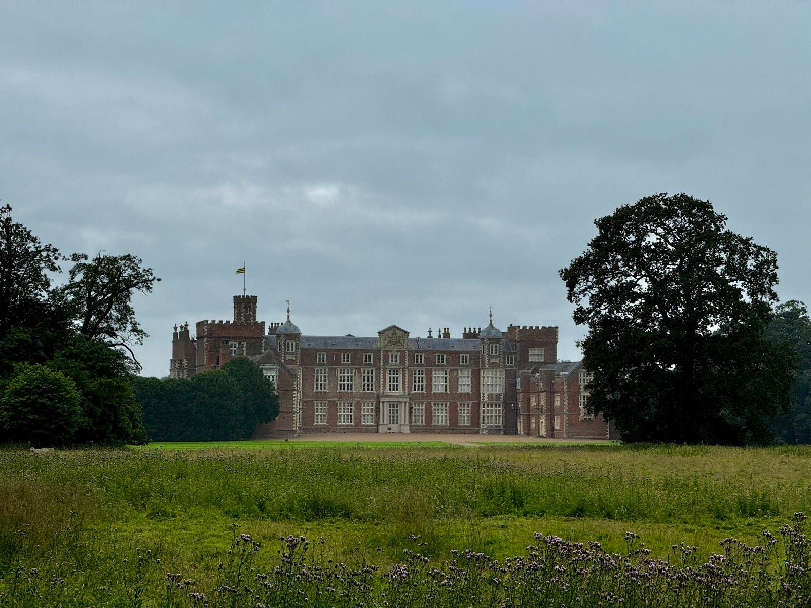
The day was still dry. Dry enough to fly the drone at Castle Howard (why bother cycling all the way into a stately home’s grounds when you can fly a drone there and back at 40mph, and with a zoom lens I don’t even have to fly all the way there). By Burton Constable hall it was already spitting on so I took an iPhone pix instead of launching the drone.
The plan had been to camp out again tonight but the lack of good hideway spots (I scope OS maps for likely bivvying locations) and the not-at-all-forecast rain suggested it would be sensible to take a seven mile detour to an emergency hotel, near Hull. I’ll stick around because there’s a slim change I’ll get two hours of good light tomorrow evening for one of my book loops. So, for now a bath, a warm bed and a hotel breakfast in the morning.

0 Comments