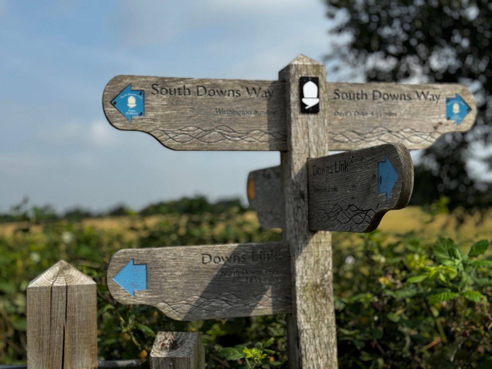
This is one of the book routes and I don’t publish those on Strava, which auto uploads to the blog. However, unlike most of the other routes this is a linear one and it would reasonably obvious where I’ve been if I published where I started. Plus, it’s not as though I’ve curated much of tbis route — it follows half of the South Downs Way.
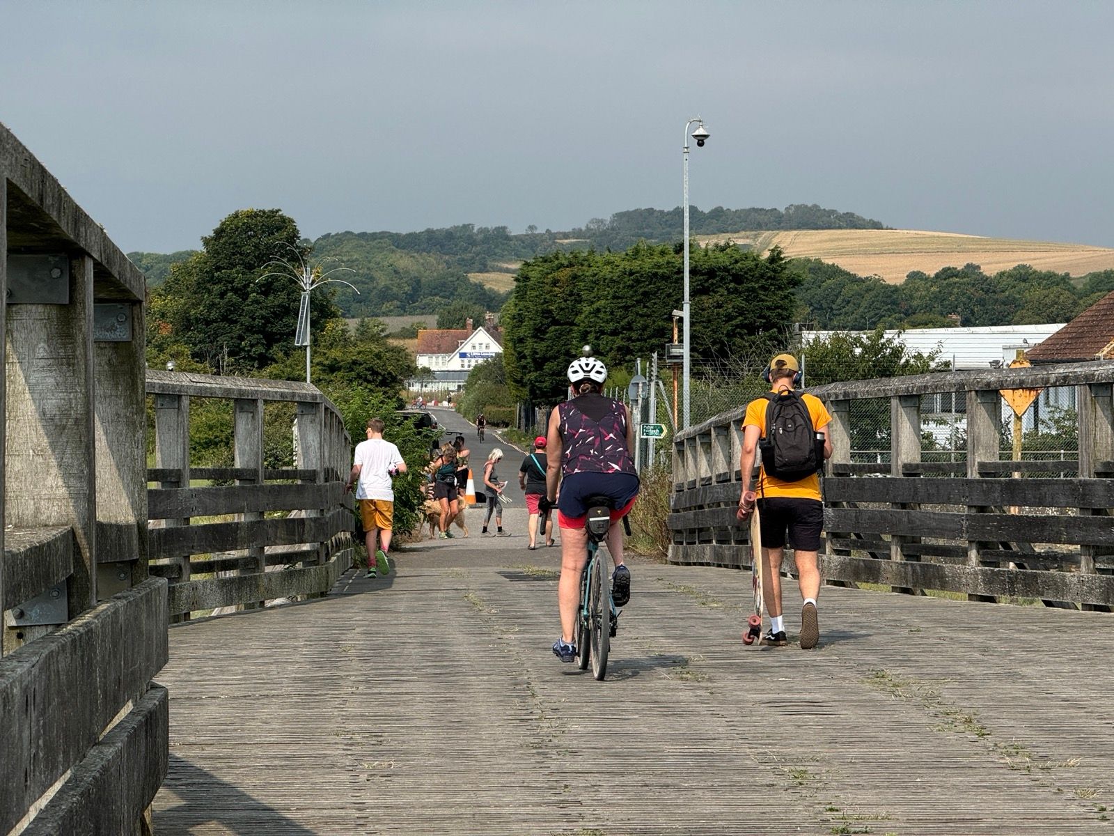
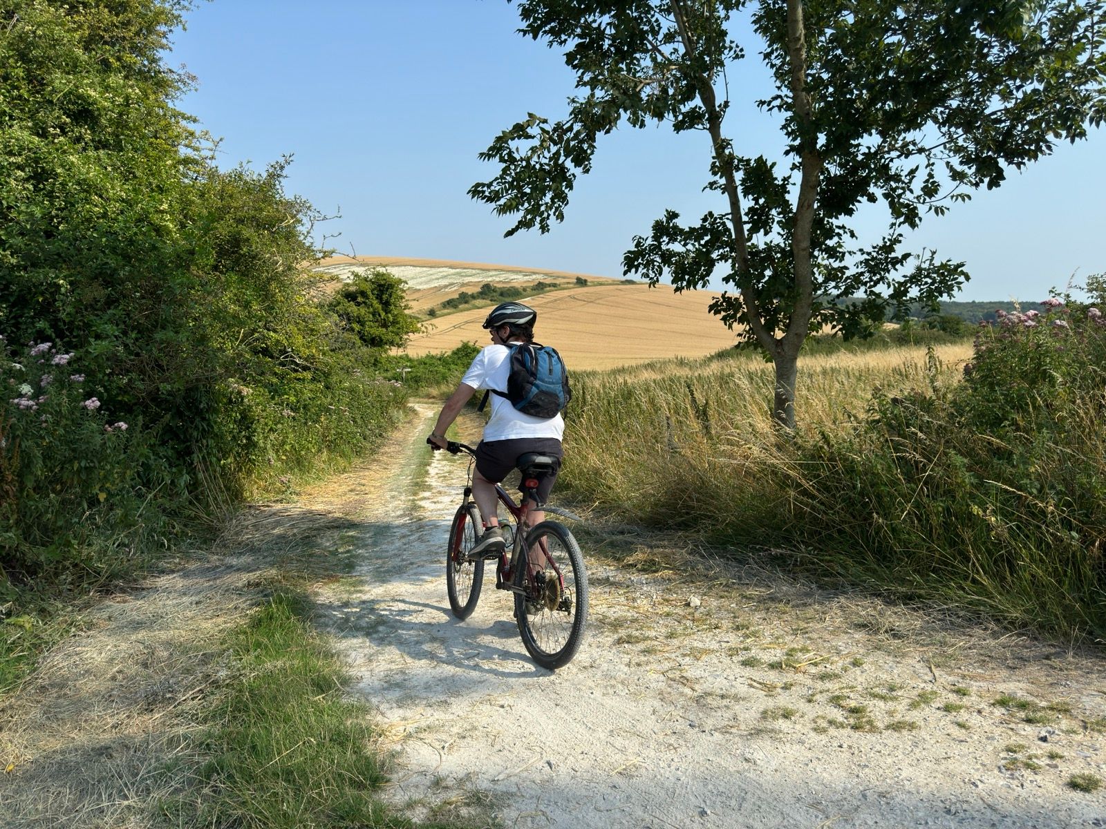
There were 30 or so hikers on the trail, and abour 15 or so cyclists. All of the cyclists were coming towards me — is it preferred to ride west to east?
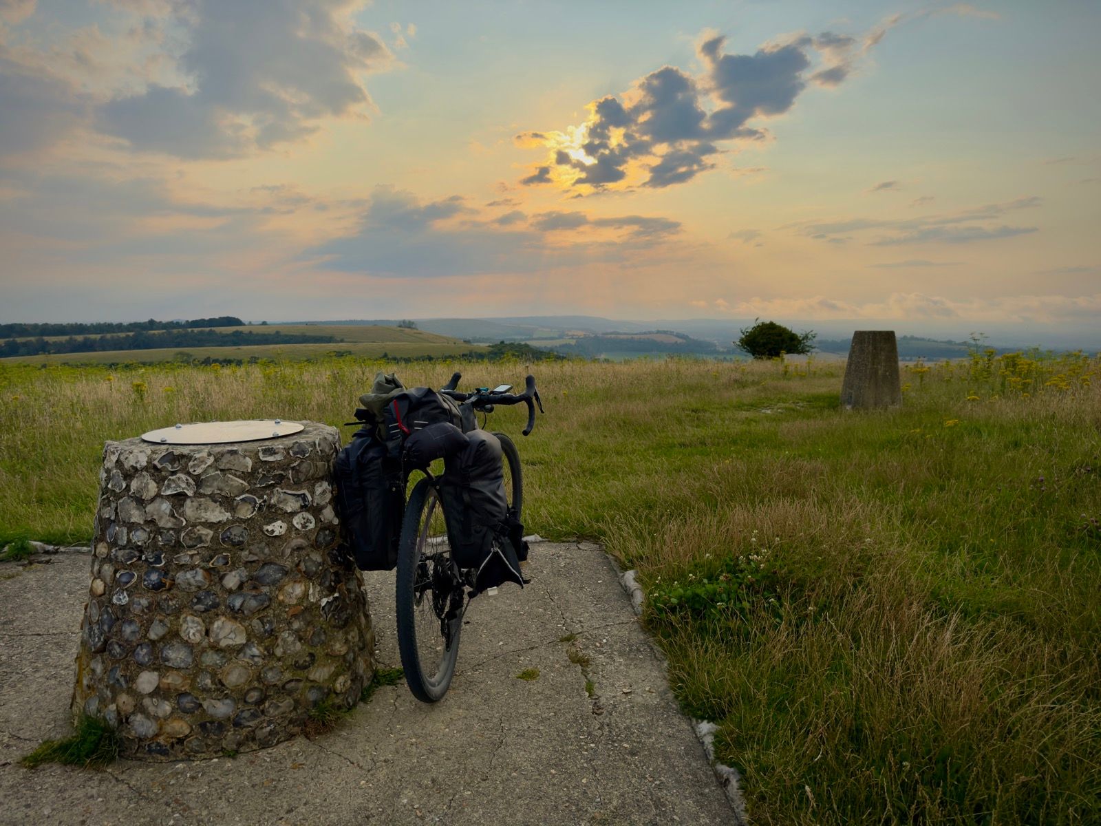
The weather forecast predicted heavy rain in the late afternoon, with perhaps bursts of torrential rain. I was heading to what I hope would be a wild camping spot directly on the South Downs Way, a bronze and iron age hillfort at Harting Down.
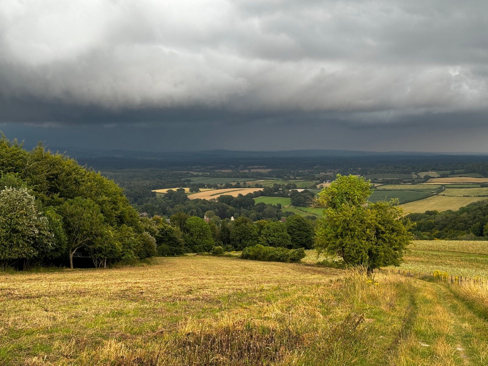
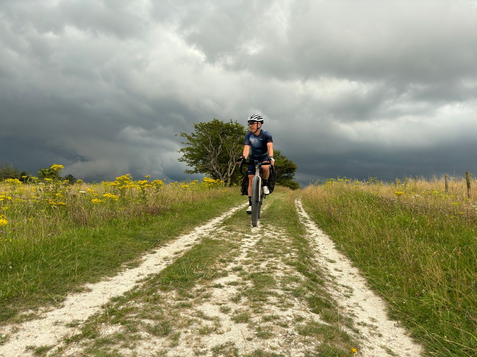
As the afternoon wore on I could see the build up of black clouds beneath me and off to my right and I strapped the tarp to the outside of my pannier bag should I need an emergency shelter.
The clouds became blacker and I could make out rain falling in the distance. None landed on me. I later learned that much of the south of England had seen heavy rain showers. Winchester suffered extreme flash flooding. Up on the Downs I was dry. Indeed, I based in sunlight.
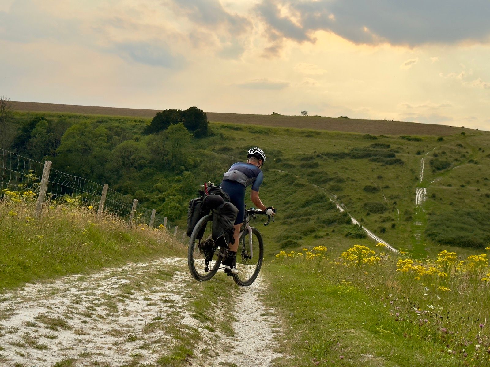
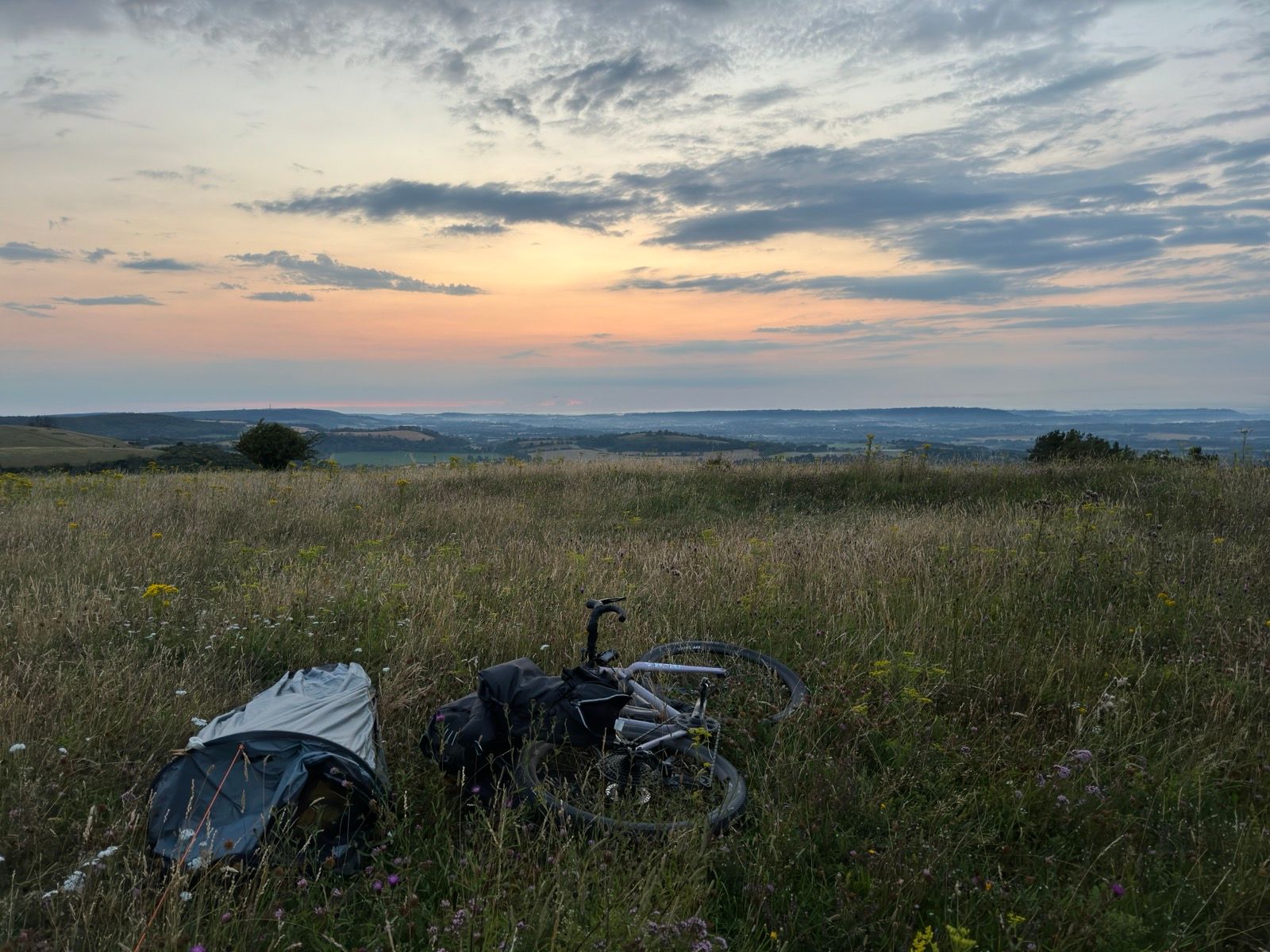
From about 5pm I didn’t any walkers or cyclists on the South Downs Way. Perhaps they had heeded the weather warnings? My wild camp in the wild flowers on top of Harting Down was undisturbed.
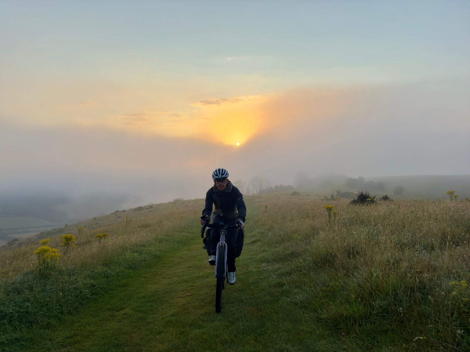
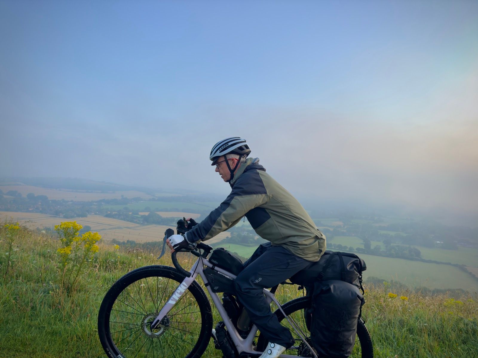
I woke to heavy mist. I hadn’t stopped the Garmin and let it track me until the route’s end in Petersfield.
“This is the best coffee in Petersfield,” an old man sitting outside the Hoxton Bakehouse told me after we had swapped weather tales. (He had wondered if I had experienced the heavy rain the day before.)

0 Comments